GPS Coordinates: N32°47.585’ E 10°27.238’
Governorate: n.d.
Delegation: n.d.
Access Route
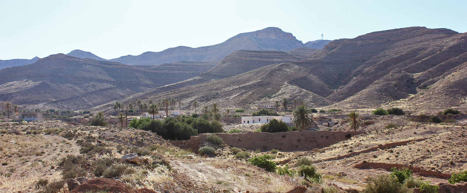
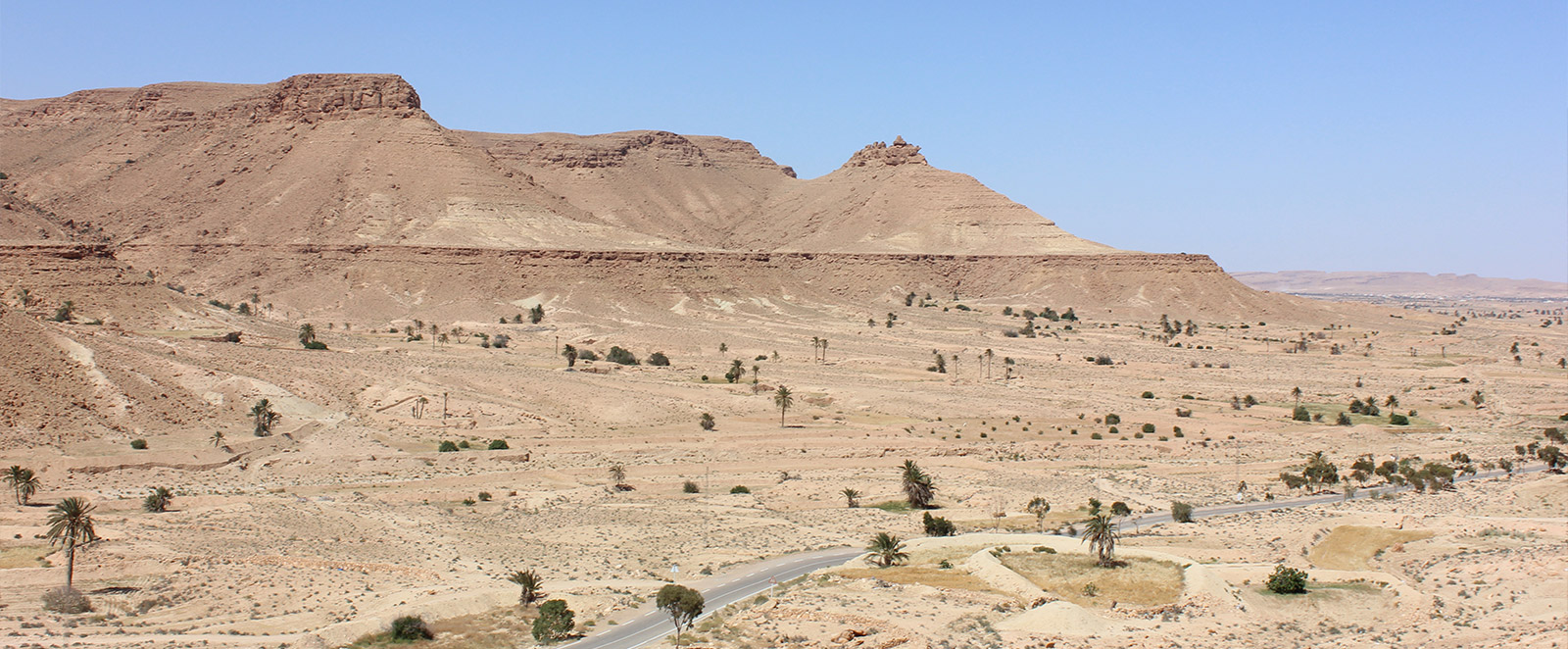
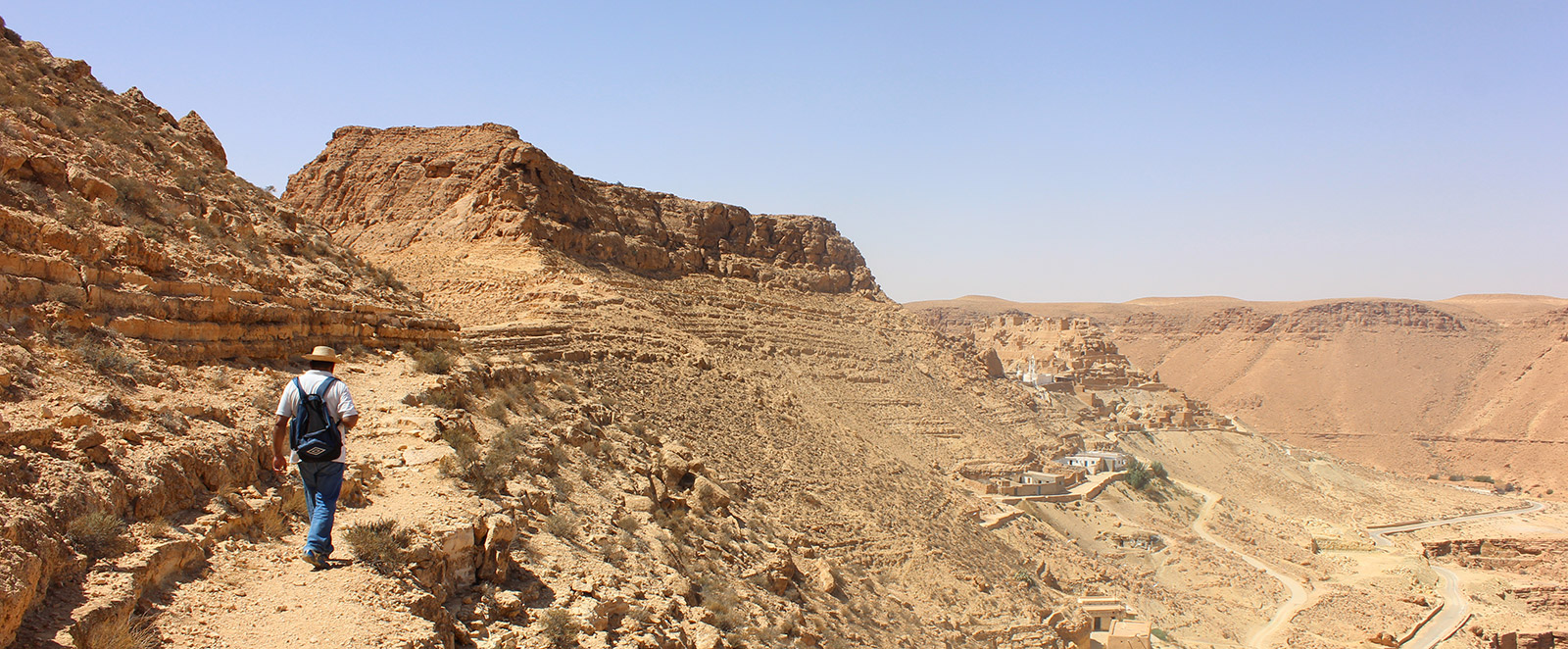
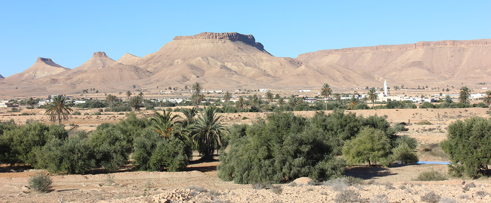
The ancient village of Sedra is located about twenty kilometers on the road from Tataouine to Maztouria. In the village of Sedra, climb to the left on a track that leads to the old village.
Description
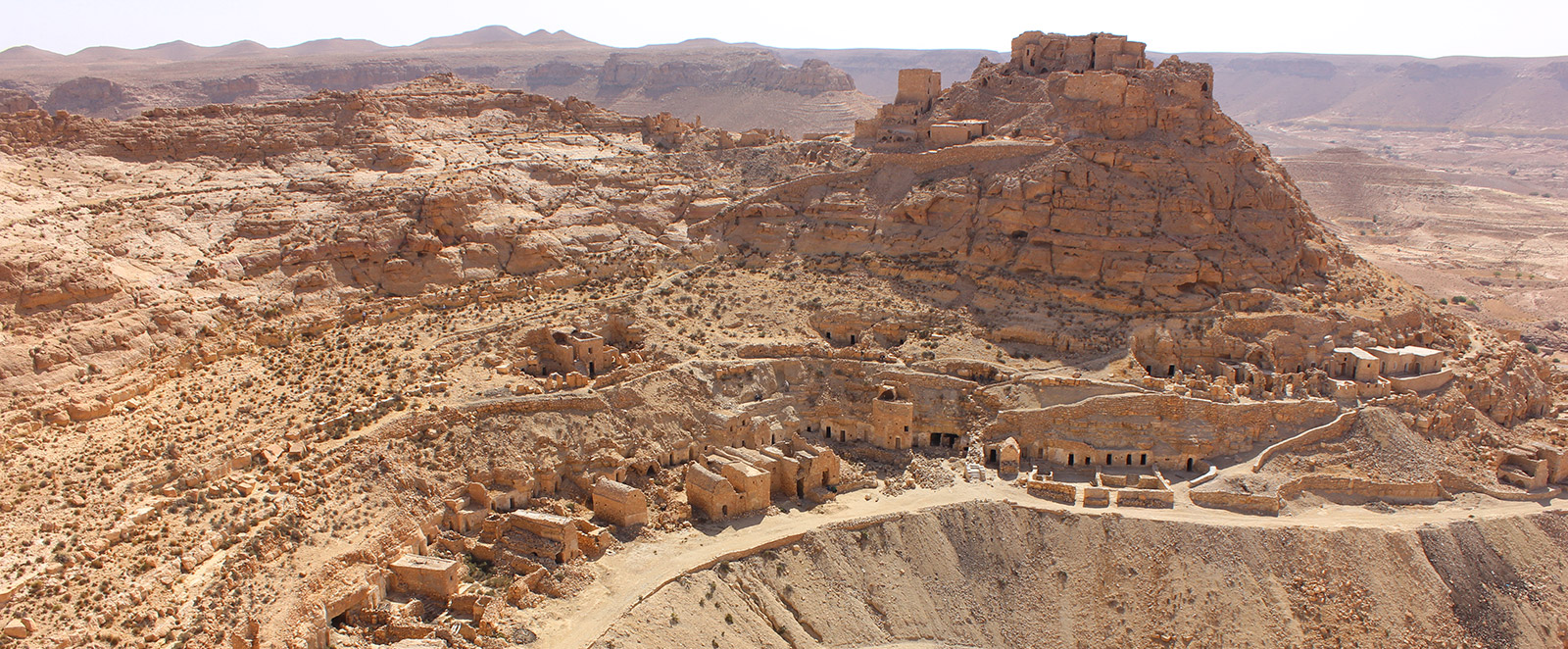
On the mountainside, this pedestrian Berber village consists of caves dug laterally, forming a belt extended over three levels (called "haf"), thus tracing the chronological evolution of the village. In Sedra, two different architectures are noted: the first is designed in the form of lateral caves with an open-air oval courtyard bordered by two small walls on both sides; the second architecture takes the form of a "houche"; to each houche is assigned a number of caves that can vary from two to four depending on the size of the family. In front of these caves, the people of Sedra built two-story ghorfas with a courtyard enclosed by walls and a main entrance door.
Sedra, one of the most beautiful ridge villages, is also known for its tunnels that penetrate the mountain and its oil mills dug into the caves. One of these mills is still in good condition and continued to operate until the 1980s. The southeast face of the village's underground mosque is destroyed; a new mosque was built at the beginning of the 20th century with 3 naves, three horizontal tiles, a niche, and a dark green wooden platform. Very close to the village is the marabout of "Feguira la Rougaya". At the top of the mountain, above the village, there is a citadel ksar difficult to visit due to fallen ruins; this citadel has lost much of its architecture and only a few arches of the ghorfas remain.