• IMG 7369 zoom
  • IMG 7606
  • IMG 3299
  • IMG 6271 zoom
  • IMG 4077

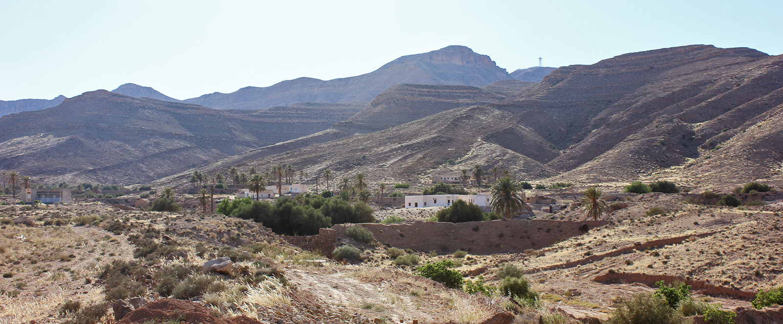
Tamezret

. Posted in Horizontal trogloditic habitat

GPS Coordinates: N 33.537229°,  E 9.864137°

Governorate: n.a.

Delegation: n.a.

Tamezret

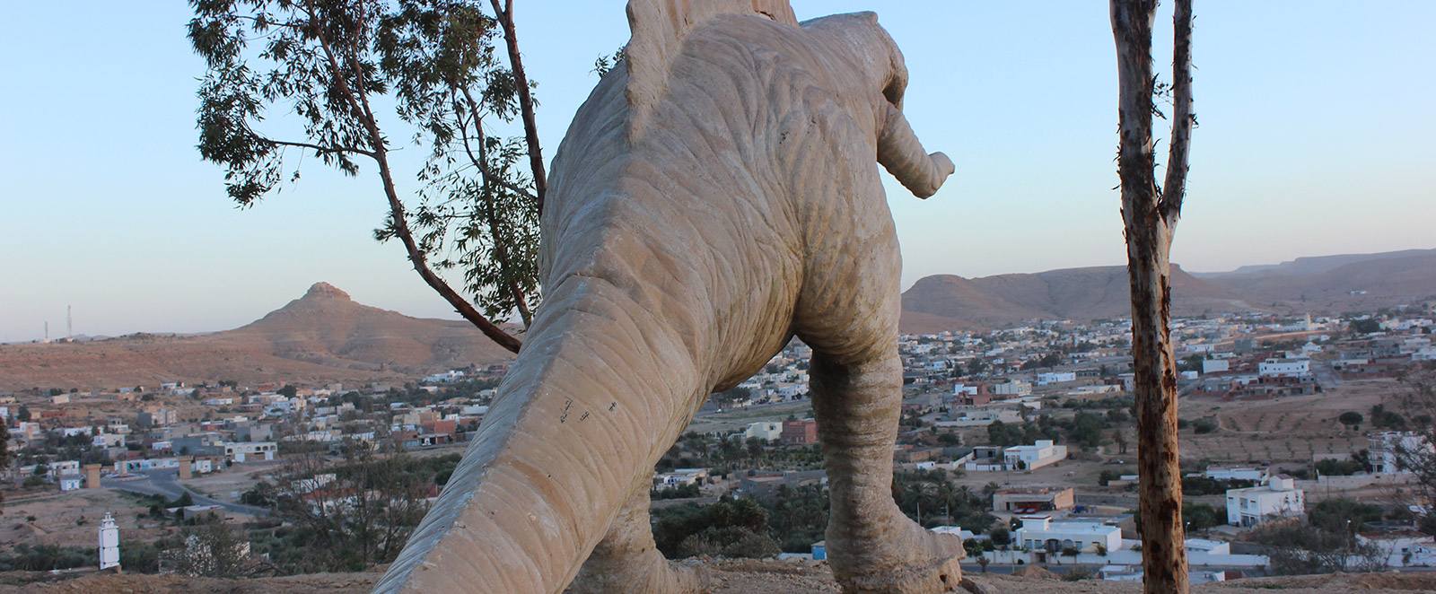
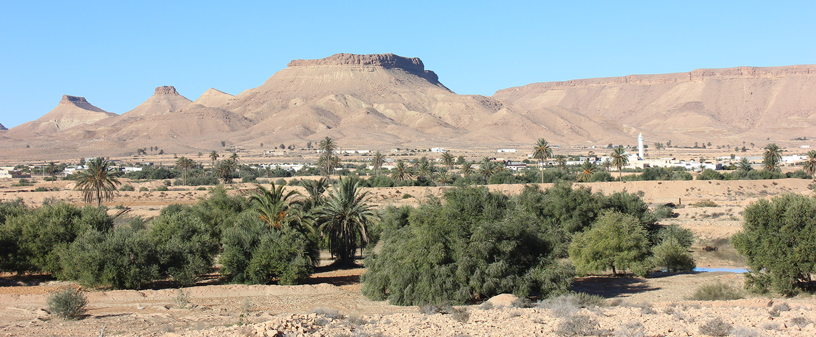
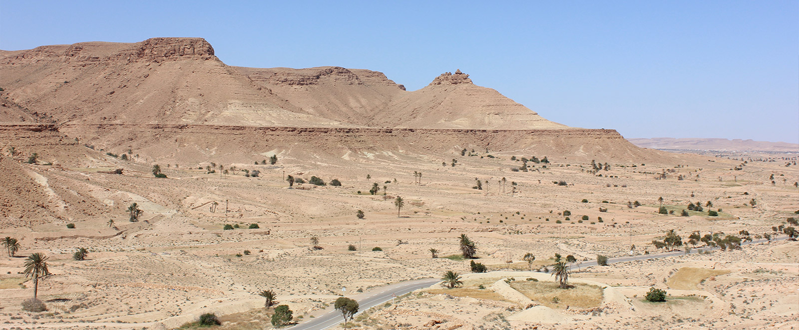
Description: This is a village perched on a hill, featuring horizontal-level troglodyte houses clustered around the mosque at the summit. The village offers visitors three days of cultural activities during the first half of August.


NOTICE

 Site visitors are advised that data entry for the GMG project is still in progress, so some pages may still be incomplete. We apologize for the inconvenience. 

PROJECT PARTENAIRES

  • Autonomous Region of Sardegna
    Autonomous Region of Sardinia (Italy)
    Project Funding Organization
  • ASECON Association Amici Senza Confini
    ASECON (Italy)
    Association "Friends Without Borders"
  • ONM National Mining Office
    ONM (Tunisia)
    National Mining Office
  • CNR National Research Council
    CNR (Italy)
    National Research Council
  • PGSA-SAR Historical and Environmental Geomineral Park of Sardinia
    PGSA SAR. (Italy)
    Historical and Environmental Geomineral Park of Sardinia
  • Municipality of Masullas
    Municipality of Masullas (Italy)
    Province of Oristano
    Region of Sardinia
  • Municipality of Gadoni
    Municipality of Gadoni (Italy)
    Province of Nuoro
    Region of Sardinia
  • Friends of Sardinia ONLUS
    Municipality of Gadoni (Italy)
    Province of Nuoro
    Region of Sardinia