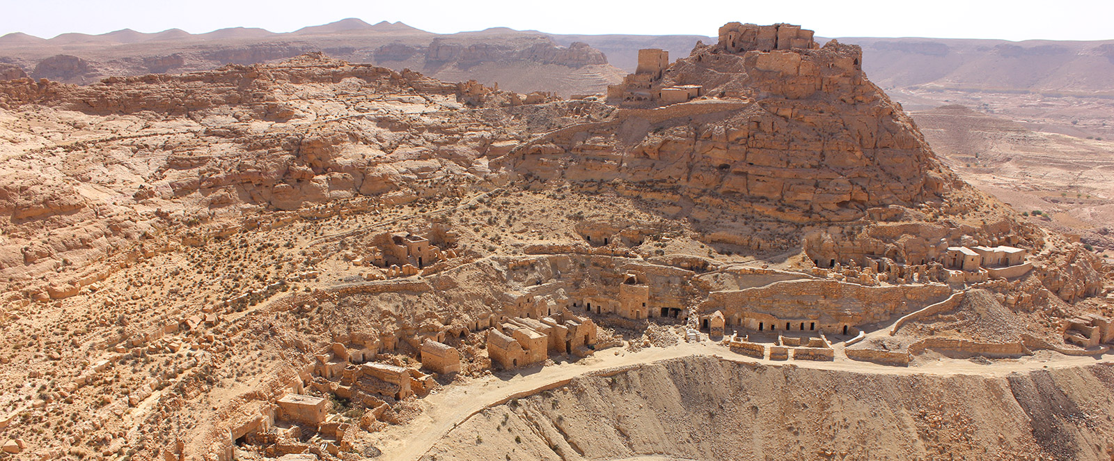
GPS Coordinates: N32 59.209 E10 15.113
Governorate: n.a.
Delegation: n.a.
Site Highlights
-
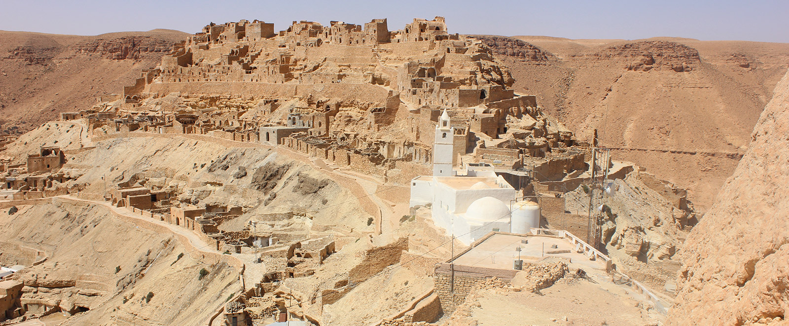
Kalaa at the summit
-
Granary Ksar
-
Underground oil mills
-
Adjacent Marabout
-
Troglodytic dwelling
-
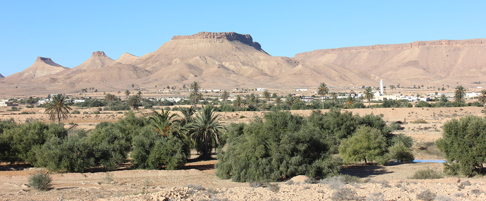
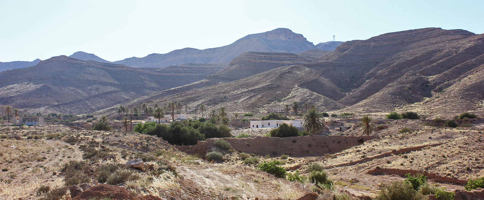
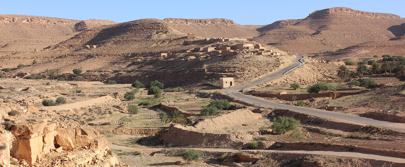
Landscape
-
Geological section


Access Route
The Berber village of Guermessa is accessible via two roads. It is located 12 km from Ghomrassen and approximately 15 km from Tataouine.
Description
The site of Guermessa is an example of the region's ridge villages, consisting of a citadel ksar and troglodytic dwellings.
The citadel ksour or kalaa (fortress) or refuge citadels occupy the summits of hilltops that are completely detached from the plateau surface or on spurs attached by narrow, low-lying isthmuses that are easy to control. These are steep-sided hills with flat tops capped by a layer of hard rock in the form of a hat or crown.
The citadel ksour dominate and overlook villages or troglodytic dwellings. The ksar serves as a granary for storing agricultural products, food reserves, and preserving the valuable assets of the village inhabitants. The oldest citadel ksour date back—according to inscriptions found on the walls of the Ghorfas and doors—to the end of the fifth century of the Hegira / tenth century of the Christian Era.
The Troglodytes
In the Berber villages of Tataouine, habitat traditionally consists of caves dug according to a horizontal plan, representing a perfect adaptation to the environment of southeastern Tunisia, both in terms of relief and climate. Thus, the populations of these regions have known how to take advantage of a relief that allows for the excavation of living spaces. Furthermore, they sought to protect themselves, through this type of habitat, from excessive heat in summer and cold in winter. Troglodytic housing offers an unparalleled advantage in these regions; indeed, troglodytic homes are isothermal—cool in summer and warm in winter.
The troglodytic dwelling is carved into a soft layer between a hard wall and substratum; room dimensions vary from 5 to 8 m long and 3 to 4 m wide, with a height of 2 m.