Prepared by: Kamel Laroussi, Anthropologist, IRA-Medenine, Tunisia.
Ksour, as vestiges of the nomadic times of the populations of Southeast Tunisia, represent one of the rare stone constructions that testify to the ingenuity and know-how of the region's inhabitants. Although nomads preferred living in tents, which was better suited to their production mode based on pastoralism and communal grazing lands, they opted to build Ksours at the center of their private domains. Consisting of a series of Ghorfas, the Gasr's main function was the storage of harvests. Spaces were also found for local craftsmen such as blacksmiths (for making and maintaining agricultural tools, weapons, chains, locks, and horseshoes). Carpenters were also present (for making kitchen utensils and traditional olive oil mill containers from olive wood, and palm wood doors). In some Ksours, weavers could be found producing Ouazra, Burnous, and other wool blankets.
Land and Symbolic Significance of the Gasr
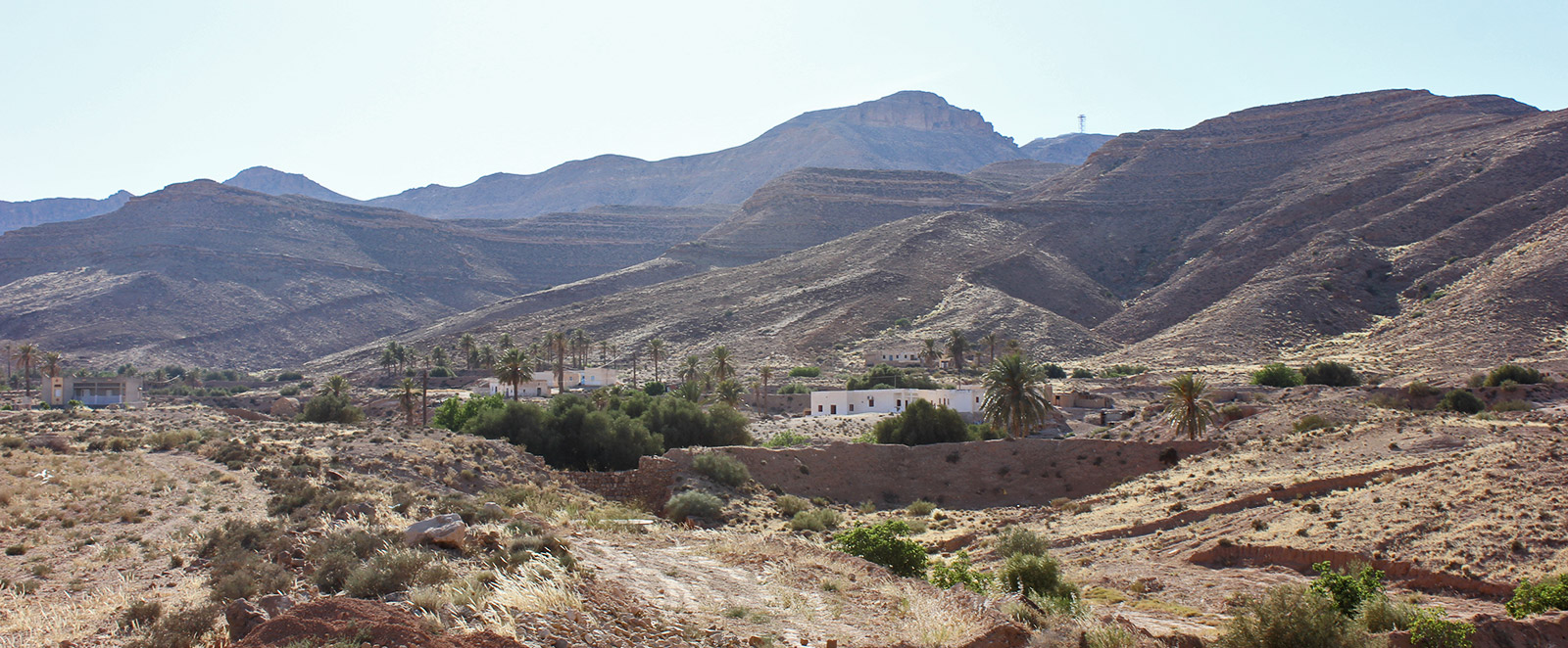
One of the lesser-known functions of the Gasr concerns its role in the land distribution of private tribal or family lands. According to accounts from the 18th-century Ibadite Sheikh Abi Abbas El Naffoussi, the allocation of ghorfas to a family head was proportional to the area of private land he owned around the Gasr. Thus, the perimeter of the outer wall of the Gasr was determined by the number and size of private plots for each tribal member. Generally, the Gasr is built on high ground in the middle of private plots that widen as they move down from the building. These lands were devoted to farming and arboriculture in cascading "Jesour," designed for rainwater retention through an ingenious drainage system. Thus, the Gasr fulfilled the dual function of a boundary system between tribes and a land registry for tribal members owning the Gasr in common.
In summary, the size of the Gasr has a double significance: one of land ownership and the other symbolic, relating to the power and reputation of the tribe among its neighbors.
Currently, the ksar heritage of Southeast Tunisia is undergoing a procedure for inscription on the UNESCO World Heritage list.
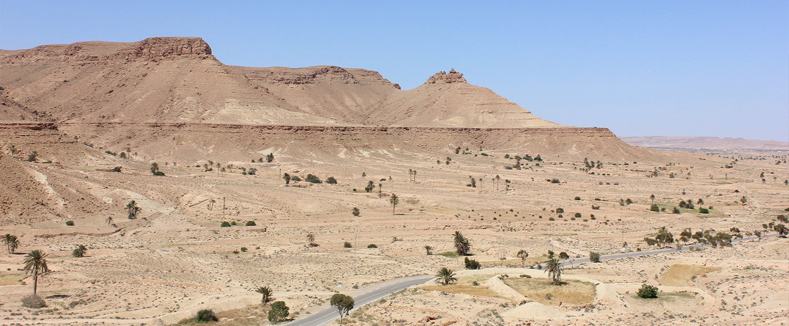
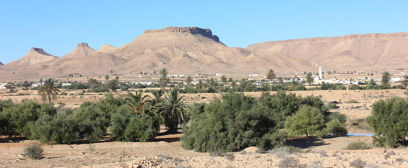
Ksours, plural of Gasr (Ksar, Arabic word) or Ighrem (in Berber), are essentially concentrated in the Southeast of the country between Matmata and Tataouine. There are about 150 of them. They are part of the cultural heritage of this region and remain a major tourist attraction.
Ksours were used as granaries, generally used by Berber populations to store their main foodstuffs and occasionally as dwellings.
Citadel Ksours
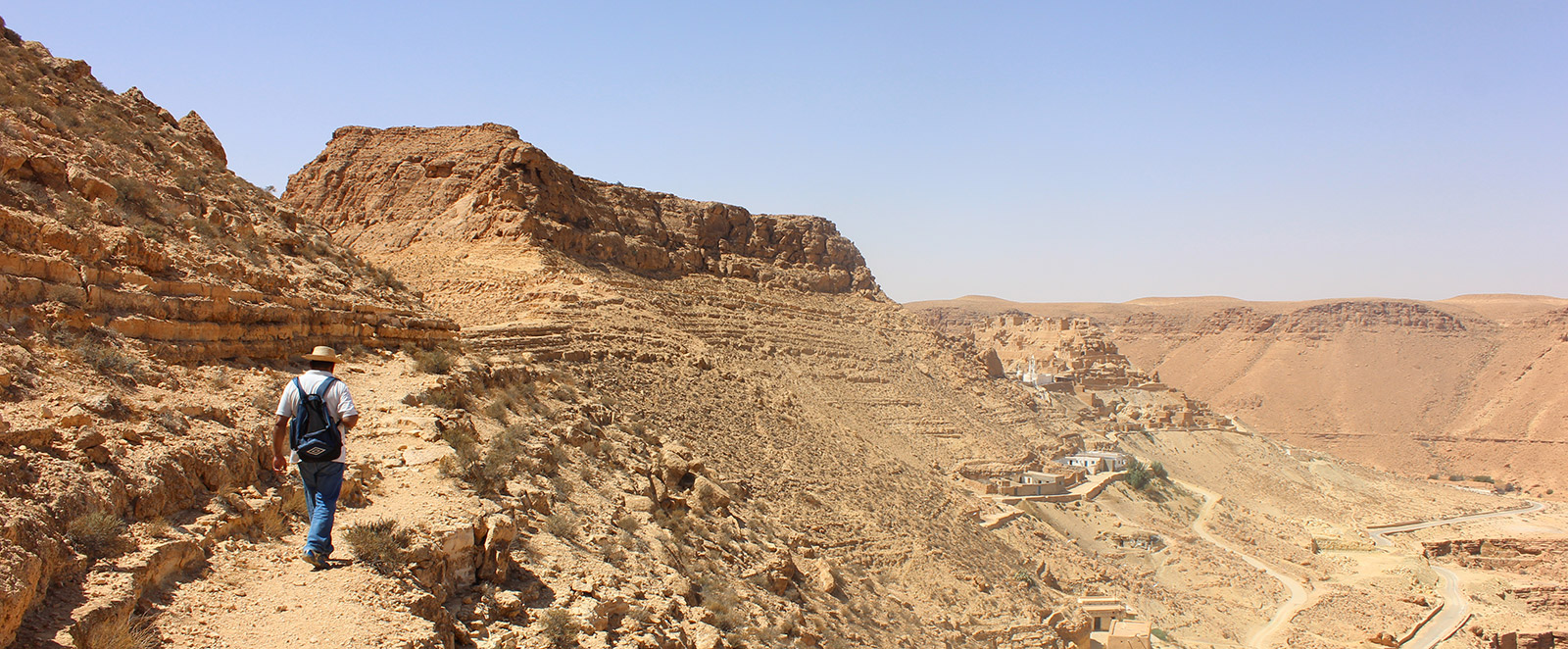
Citadel Ksours, or Kalâa (fortress), clearly have a defensive purpose. They are difficult to access and identify from afar as they are perched on ridges where they blend in due to their structure and color.
Mountain Ksours and Hill Ksours
The defensive character of Mountain Ksours remains, but being located on more accessible sites, "they dominate fertile depressions and plains" and have a "primarily agricultural vocation." They are not associated with villages and mostly serve as storage sites for Arab tribes who previously used the Ksours of their Berber protégés, such as Ksar Ouled Soltane.
Plain Ksours
Plain Ksours are the most recent and correspond to the desire of the French protectorate and later the Tunisian government to develop urban centers. Freed from topographical constraints, they occupy a larger area. Simple granaries, they usually do not exceed one story and generally have a simple access corridor instead of gates. Some plain ksours, however, have become true cities like Medenine or Zarzis.
Bibliography
Laroussi Kamel, The Gasr: Vestige of Nomadic Times. Arid Regions Journal, No. 20 (Special Issue), June 2008, pp. 47-97.
- Kamel Laroussi, Mourad El Koundi, Mohamed Ouaja & Jihed Dridi, Geotouristic Excursion in Southeast Tunisia, 6th National Colloquium on Geological Heritage, Tunis, May 2017, 40 p.