GPS Coordinates: N32°55.692’ E10°26.737’
Governorate: n.d.
Delegation: n.d.
Access Route
Seven kilometers east of Tataouine, near the track that joins the Ksar of the Krachwa.
Description
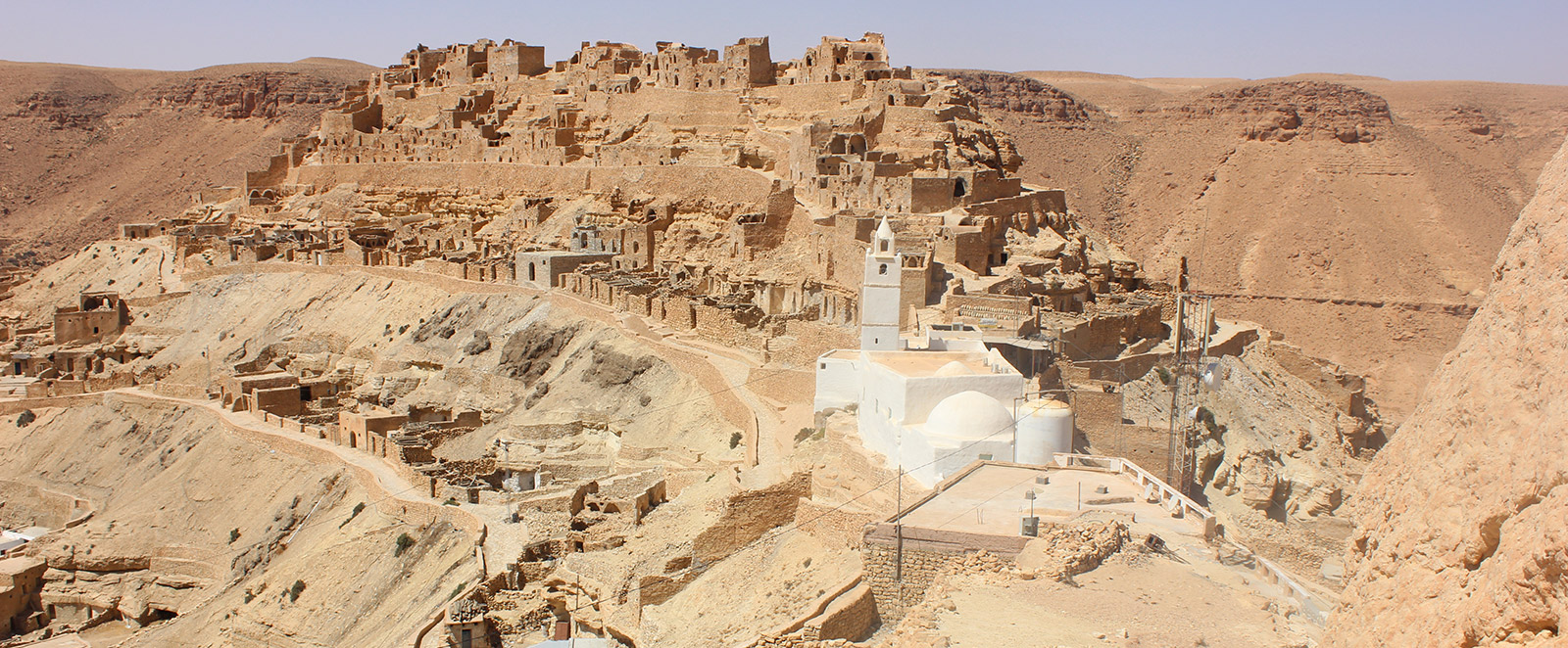
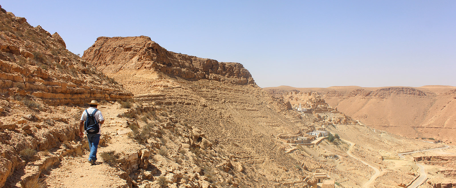
The troglodyte village of Gattoufa stands on a hill. It extends from the summit for one kilometer with belts of troglodyte lines, to which a few stone ghorfas are added. Some caves communicated with each other, and there is even an underground corridor connecting two caves that open on both sides of the hill, which served for camouflage during escape from the enemy. In this village, there are inscriptions engraved on the walls of a 513-year-old cistern, as well as five troglodyte oil mills, one of which contains two oil presses, and an underground mosque with two naves and 3 horizontal tiles, with its minaret, which is said to be 900 years old.
The great historical importance of the village: its panoramic location and its complex, imposing structure make this village a very interesting locality to visit, especially for trekking enthusiasts.
The village of Gattoufa is also called the "village of nettles" due to the layer of nettle plants that cover the village floor, especially during spring.
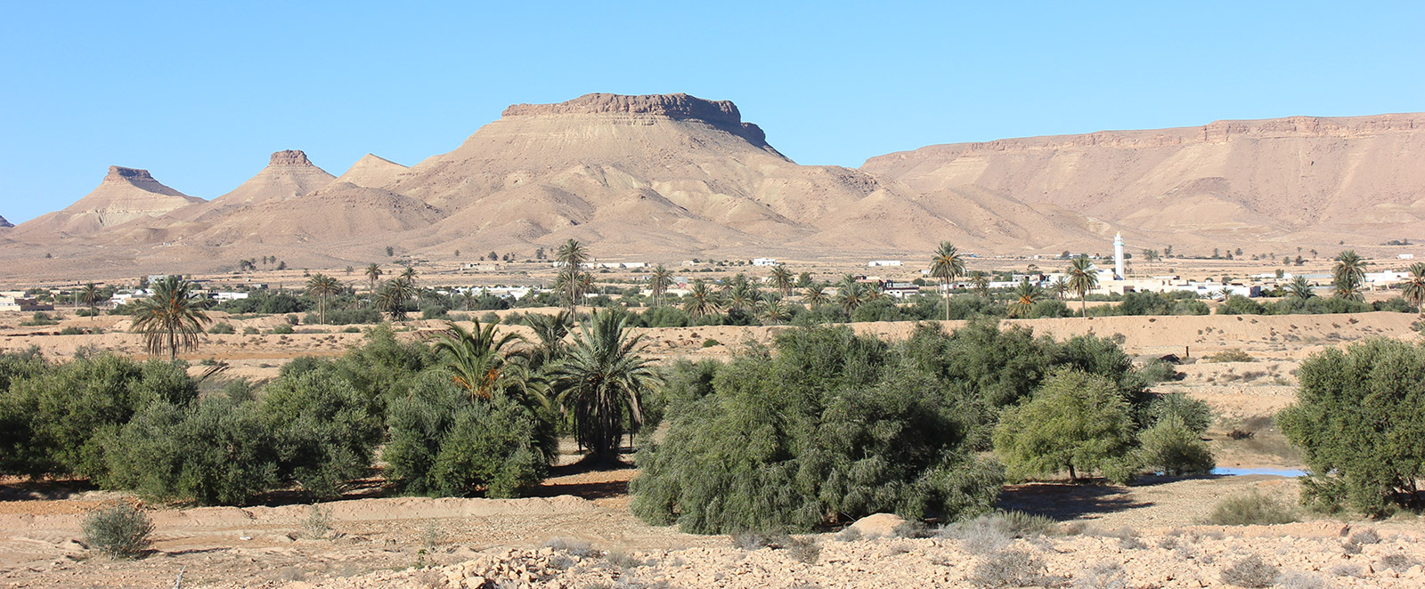
The village is characterized by a large expanse with, in its center, two ksour that overlap with the troglodyte dwellings, a significant number of ghorfas, and marabouts.
Conservation Status
It is degraded with one part totally collapsed.