GPS Coordinates: N 32° 52' 2.3124'' E 10° 17' 16.1412''
Governorate: n.a.
Delegation: n.a.

Distance from city (Km): 22 km Southwest of Tataouine and 9 km from Gasr Ouled Debbab.
Tribal or Family Affiliation: Douiri Berbers (Ouled Abid, Ouled Taleb, Ouled Abdelkrim, Ouled Hamed, Zghadna, Sabri, Ouled Belgassem, etc.)
Construction Date: Around the 11th century
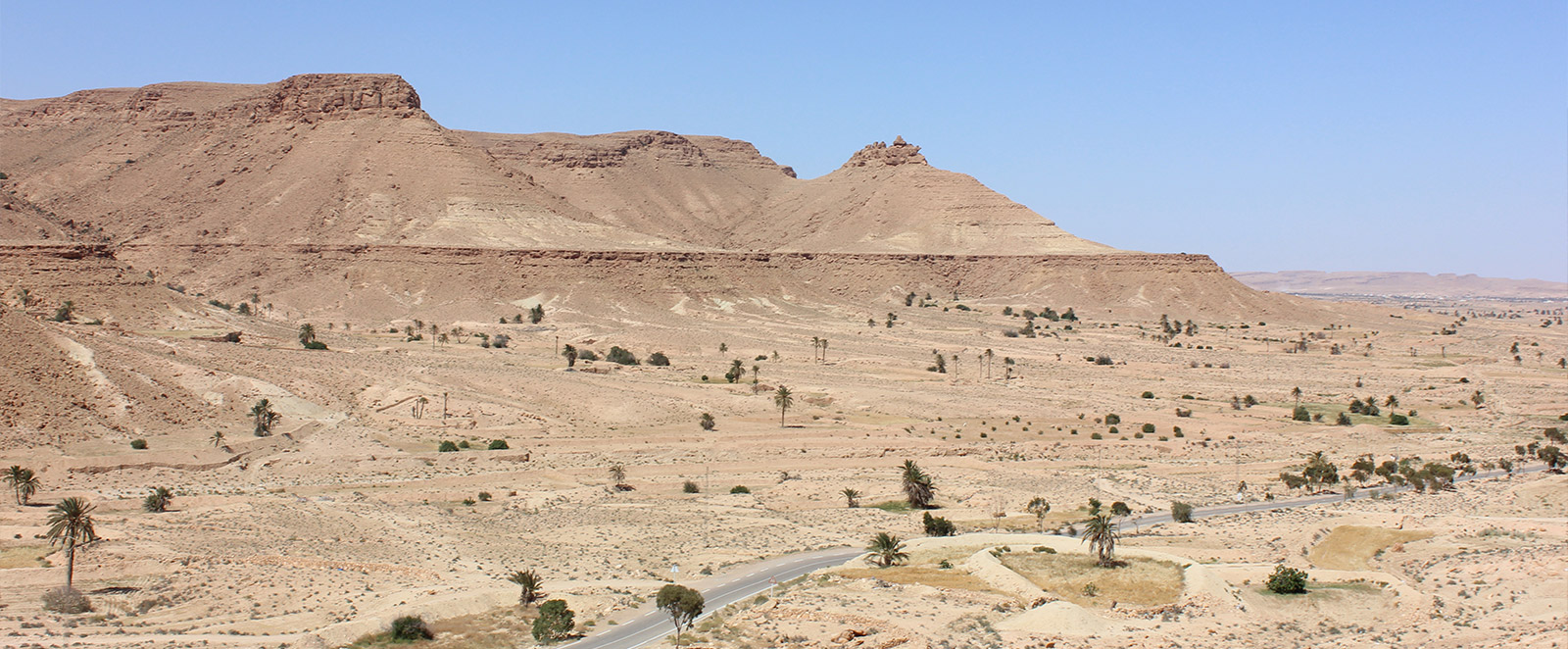
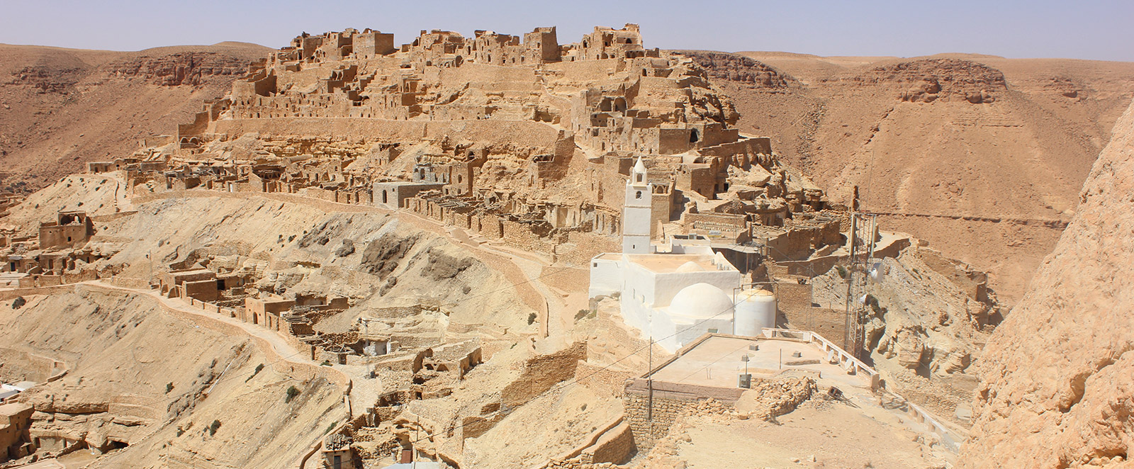
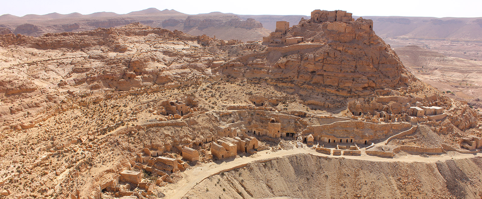
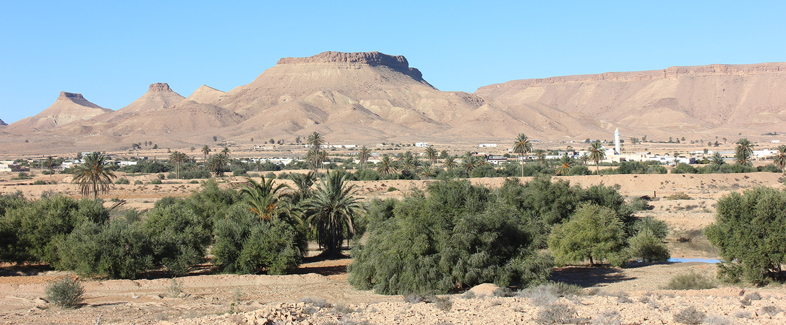
Description: The ancient mountain village of Douiret consists of a succession of small hamlets occupying the mountain peaks, mostly composed of Ghirènes (troglodyte houses) dug into the cliffs, alongside some masonry buildings. There are estimated to be 33 small hamlets totaling 2,500 Ghar (singular of Ghirène). Currently, about a thousand remain in good condition.
Surrounding Facilities: Primary school since 1949, converted into a Youth Accommodation and Leisure Center.
Number of levels: 5
Number of Ghirènes and masonry buildings: 2,500 (Ruined: 1,500, Restored: 1,000, Occupied: 200, Abandoned: 1,500)
Village Facilities:
- Tourist Lodge and Guesthouse: 2
- Traditional Oil Mills: 10
- Wells: 26
- Others: Headquarters of the Association for the Safeguarding of Nature and Environmental Protection (ASNAPED); Douiret is listed as a preferred destination in the "Destination Dahar" authentic tourism program.