GPS Coordinates: N 32°54.748’ E 10°15.715’
Governorate: n.a.
Delegation: n.a.


Access Route
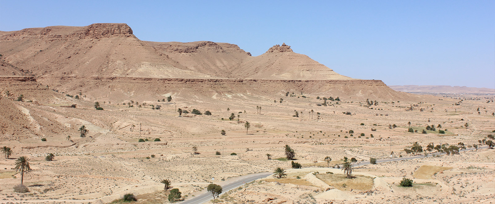
From Tataouine, there are two roads to the West leading to the village of Chenini, 20 km away. To reach the village, one must ascend on foot via a pedestrian path with a 100 m elevation gain.
Description
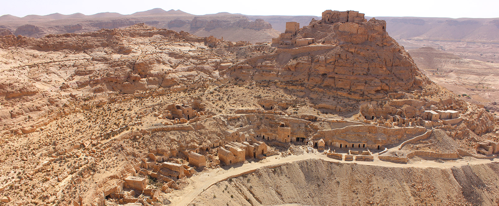
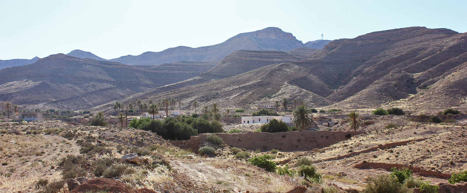
It is one of the very few troglodytic villages still inhabited by about 100 families. The village is situated on a hill shaped like a natural amphitheater. The path leading up to the ksar is about 1 km long, but there are various trails leading to the three levels of houses.
Being inhabited gives Chenini a particular importance because visitors can see how life was lived in troglodyte villages. You can see traditional oil mills still in operation and witness old-fashioned weaving work.
The village of Chenini is one of the most famous and visited destinations for transient tourism in Southern Tunisia. Chenini was already known and visited during the Protectorate; a large number of postcards from the early 20th century document this.
In the village, there is a large restaurant for tourists, a more traditional restaurant, cafes, and a guest house with some caves well-equipped to welcome visitors.
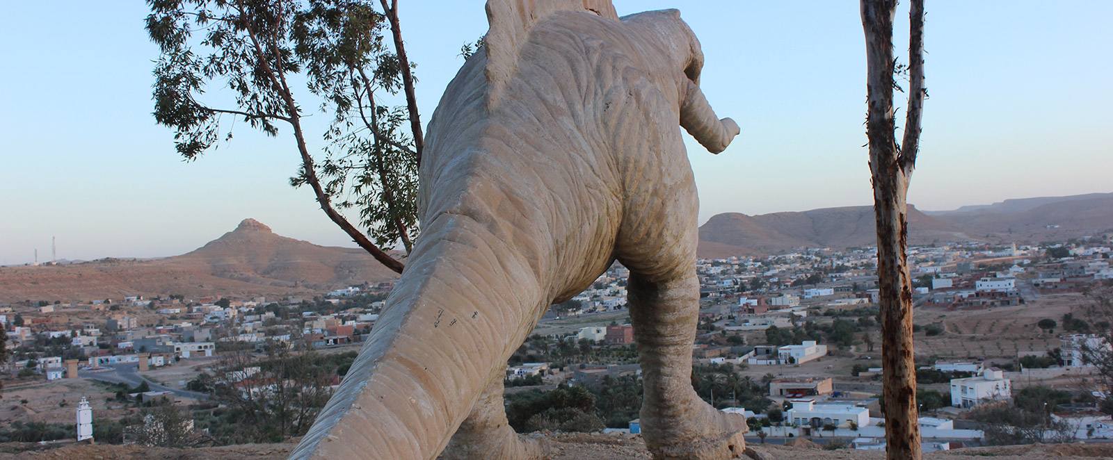
The village is topped by a ksar kalâa. Above the dwellings, a large white mosque dominates, and in the surroundings, several dinosaur tracks and other interesting Paleolithic and geological sites can be found.
Condition: Very costly restoration work was started in 2009 by the National Heritage Institute.