GPS Coordinates: N 32° 53.219’ E 10° 26.049’
Governorate: n.d.
Delegation: n.d.
Access Route
On the road from Tataouine to Maztouria, after 4km, turn right at the sign. After 2km, leave the paved road and climb to the left: the 1km track leads directly to the village.
Description
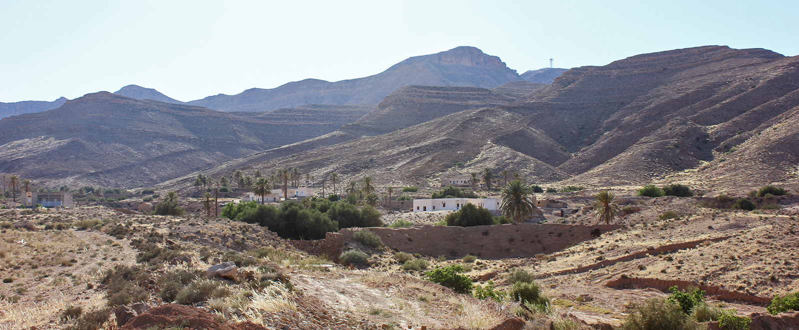
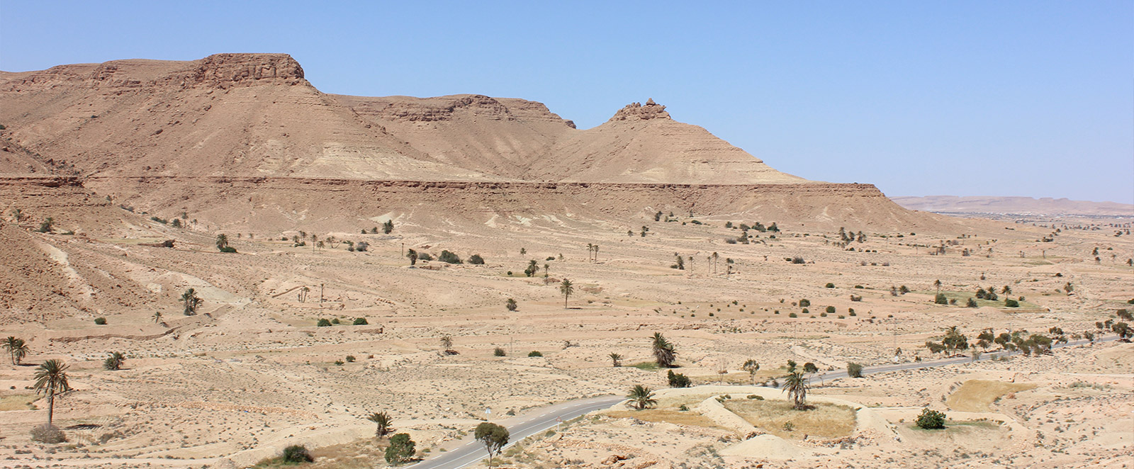
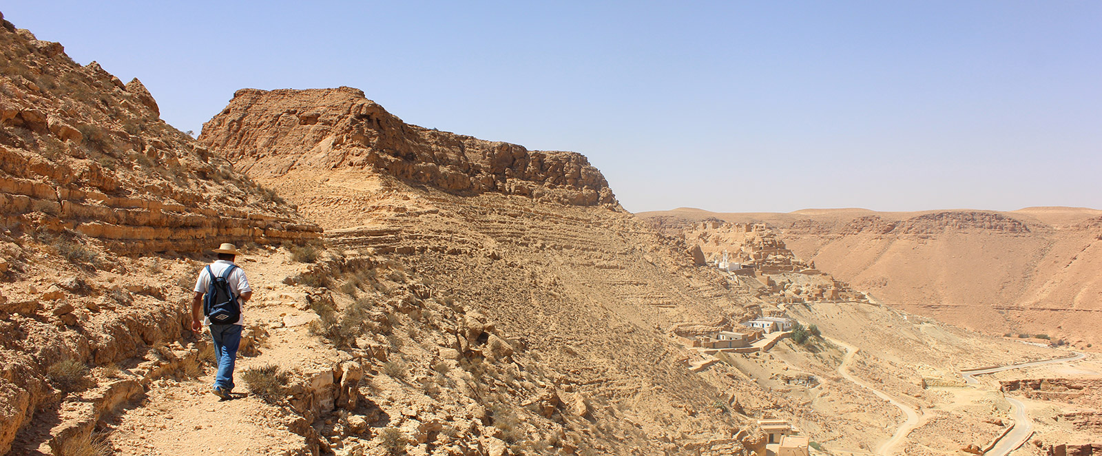
On the slope of Jebel Labiodh, below the ksar, lies the troglodyte village of Beni Barka with its dwellings carved into the rock. This village occupies a vast height and has a circular structure around the mountain; it consists of a number of caves, simple and/or composite, depending on the number of family members and their finances; there are also a large number of underground oil mills and three mosques. The location of this village is strategic as a control point for the entire valley, allowing it to monitor the caravan trade route from Ghadames.
This site is one of the most impressive; the imposing mass of the ksar and the ruins of the troglodyte levels bear witness to a glorious past. This place was the main venue for commercial meetings and the most important souk in the region before the creation of Tataouine.
The village is situated on an imposing height in the Oued Zoundag valley.
The Troglodytes
In the Berber villages of Tataouine, housing is traditionally in caves dug according to a horizontal plan, which constitute a perfect adaptation to the nature of the Tunisian South-East, both in terms of relief and climate. Thus, the populations of these regions have taken advantage of a relief that allows for the excavation of living spaces. Furthermore, they sought to protect themselves from excessive heat in summer and cold in winter through this type of habitat. Troglodyte housing offers an unparalleled advantage in these regions: the dwellings are isothermal, cool in summer and warm in winter.
Conservation Status
In 2011, the INP began major consolidation work on the ksar and the village.