GPS Coordinates: N 33° 8'51.74" E 10°21'43.78"
Governorate: Tataouine
Delegation: Bir Lahmar
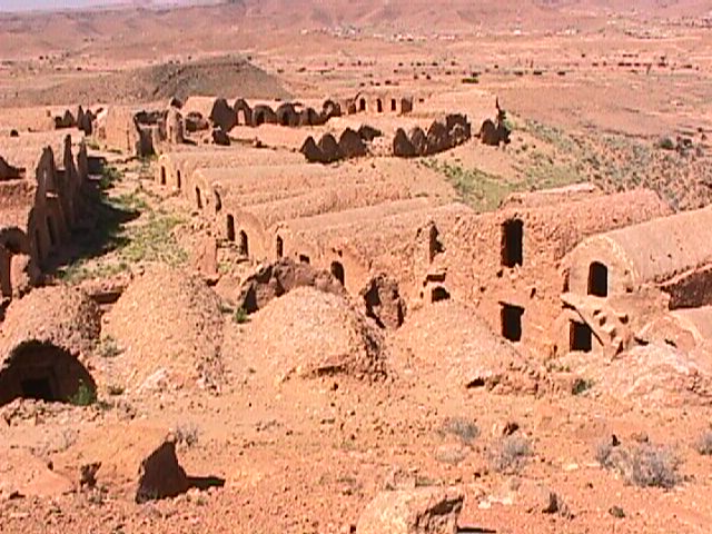
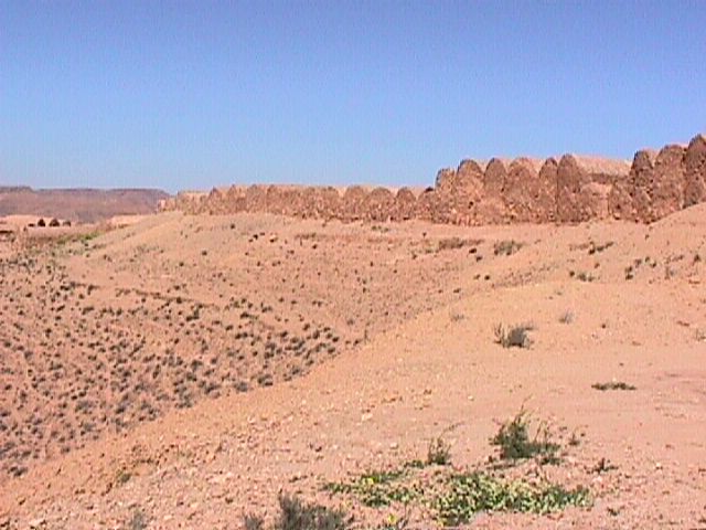
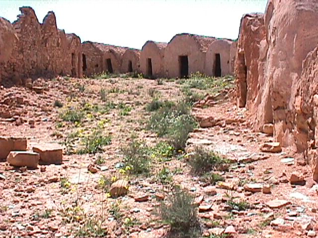
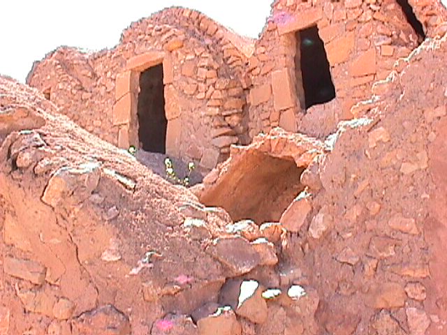
How to get to the Gasr: 19 km from Werjijen towards Temzayet, then a difficult track (approx. 500m walk).
Suitability for tourist visits: Yes.
Surrounding facilities: Crop fields: Olive and Palm trees; the Bouajila Zaouia (Sufi brotherhood site).
Distance from urban center (km): 19 km from Werjijen towards Temzayet.
Date of Construction: 1820
Number of Ghorfas: 225
Number of floors: 1
Number of external doors: 1
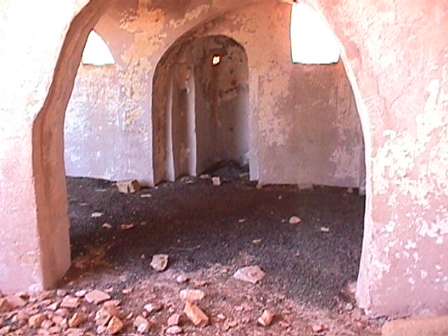
Facilities in the Gasr: Two ruined mosques, a traditional oil mill, two “Fesguia” water basins. This region experienced mass migration to the Midoune area on Djerba Island (at Nadhour).
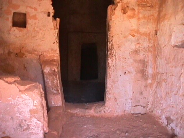
Architectural state: Dilapidated (including 30 in ruins).
The complex was completely restored starting in 1993.