Ras el Krachfa

. Posted in Geological panorama

GPS Coordinates: 33°10’7.35 N 10°16’38.85’’E

Governorate: n.d.

Delegation: n.d.
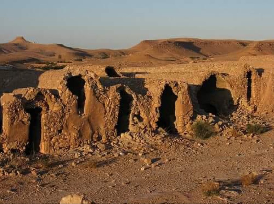
Ras el Krachfa

Access Route

n.d.

Site Description

This outcrop is a key witness to the case; a summary of the end of the Jurassic revealing, in a few strata, a succession of very different landscapes and climates. The thinness of each stratum betrays deposits on the edge of a sedimentary basin. The comings and goings of the sea are brought to light by the traces it left: an alternation of marine and continental deposits. Dinosaur remains complete the reconstruction of the puzzle.


NOTICE

 Site visitors are advised that data entry for the GMG project is still in progress, so some pages may still be incomplete. We apologize for the inconvenience. 

PROJECT PARTENAIRES

  • Autonomous Region of Sardegna
    Autonomous Region of Sardinia (Italy)
    Project Funding Organization
  • ASECON Association Amici Senza Confini
    ASECON (Italy)
    Association "Friends Without Borders"
  • ONM National Mining Office
    ONM (Tunisia)
    National Mining Office
  • CNR National Research Council
    CNR (Italy)
    National Research Council
  • PGSA-SAR Historical and Environmental Geomineral Park of Sardinia
    PGSA SAR. (Italy)
    Historical and Environmental Geomineral Park of Sardinia
  • Municipality of Masullas
    Municipality of Masullas (Italy)
    Province of Oristano
    Region of Sardinia
  • Municipality of Gadoni
    Municipality of Gadoni (Italy)
    Province of Nuoro
    Region of Sardinia
  • Friends of Sardinia ONLUS
    Municipality of Gadoni (Italy)
    Province of Nuoro
    Region of Sardinia