GPS Coordinates: N 32°52.941 E 10°29.895’
Governorate: n.d.
Delegation: n.d.

Access Route
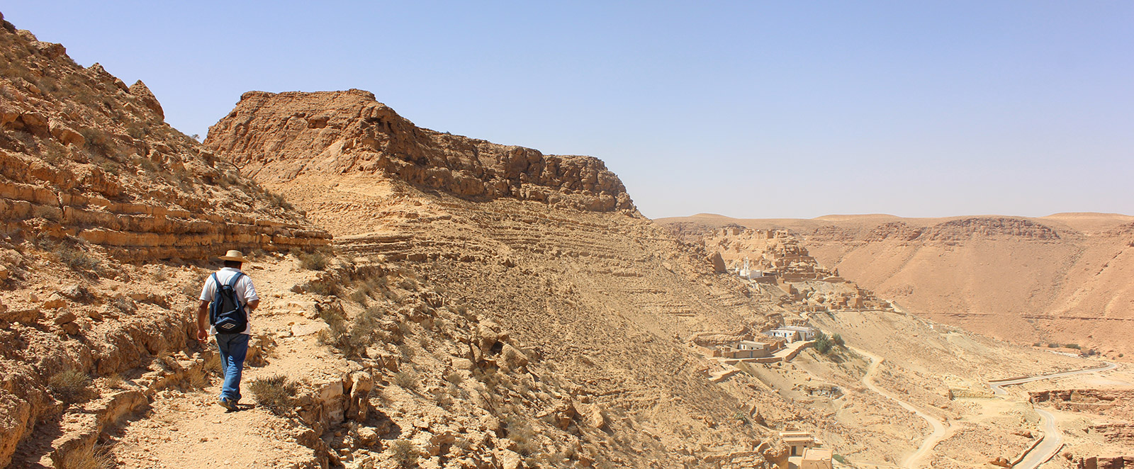
From Tataouine city, taking the road to Maztouria, at about twenty kilometers.
Description
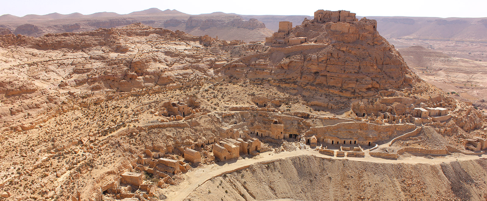
It is below the ksar that the troglodyte village of Tounket is located, with several lines of troglodyte dwellings dug horizontally into the rocks. The typical house consists of a cave in two parts arranged one after the other; the first room, which corresponds to the main cave, is 5 to 8m long, 3 to 4m wide, and 2m high; the second room, the khzana, is smaller at 4 to 5m long. In front of the cave, an open-air courtyard is arranged, enclosed by a wall 1 to 2m high. These caves were first inhabited by the Tounket tribe; later, the Amerna tribe arrived. In the village of Tounket, there are also more than three traditional troglodyte oil mills equipped with ancient grinding tools.
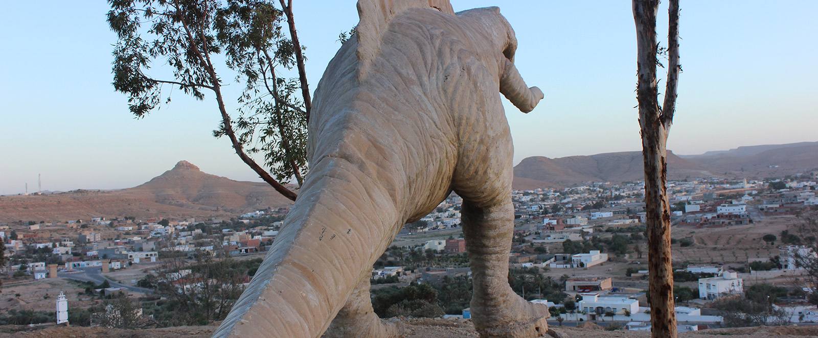
The village is located on the summit of the highest hill near the village of Tounket.
Conservation Status
It has been restored.