GPS Coordinates: N 33°03.935’ E 10°48.592’
Governorate: Tataouine
Delegation: Smar
Other names for the same Gasr: Gasr Elgaah, Gasr Ouled el Haj.
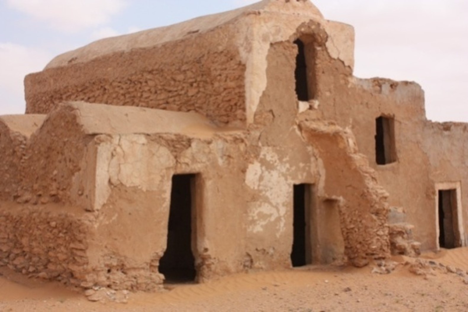
How to get to the Gasr: On the paved road from Tataouine towards Ben Guerdane to the village of Kerchaou. Turn left onto a paved road. After 4 km, after crossing the valley of Oued Fessi, you reach the Gasr, located about 100m from the road (very easy by car; paved road up to the Gasr).
Suitability for tourism: none. The silting of the ghorfas gives a certain charm to the complex.
Location of the Gasr in its environment: the Gasr is located in the Jeffara plain, near a wadi (Oued Fessi) on a small hill. The Gasr has a rectangular shape of approximately 100x80m. An old well and an abandoned mosque are located near the Gasr. In the middle of the courtyard, there is an underground oil mill, partially covered by sand.
Creation Date of the Gasr: around 1910
Number of ghorfas: Currently 74, of which 28 are collapsed; in the past probably 100-120.
Number of floors: One single floor; but only 3 ghorfas have two floors.
Number of external doors: Three main entrances, no doors.
Architectural Condition: In ruins and largely covered by sand. The sand plays a protective role for the ghorfas.