GPS Coordinates: N 33°1'55.34" E 10°22'38.24"
Governorate: Tataouine
Delegation: Ghomrassen
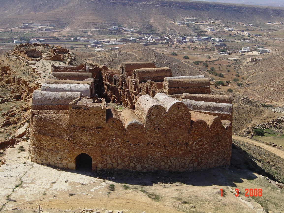 Photo: Aloui Slah, 2008
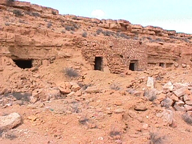
Photos: Laroussi Kamel, 2003
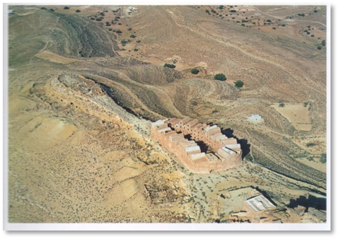
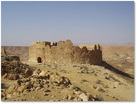
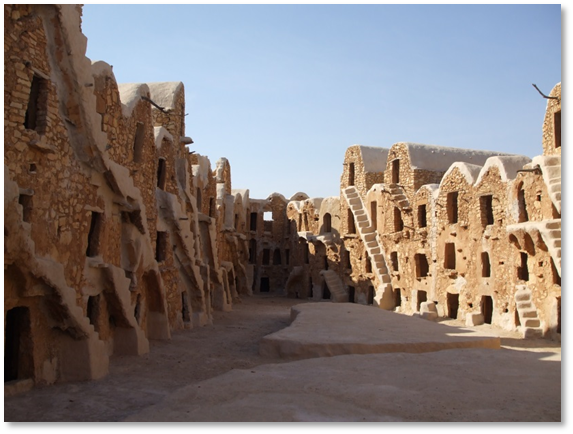
Photos: ONM
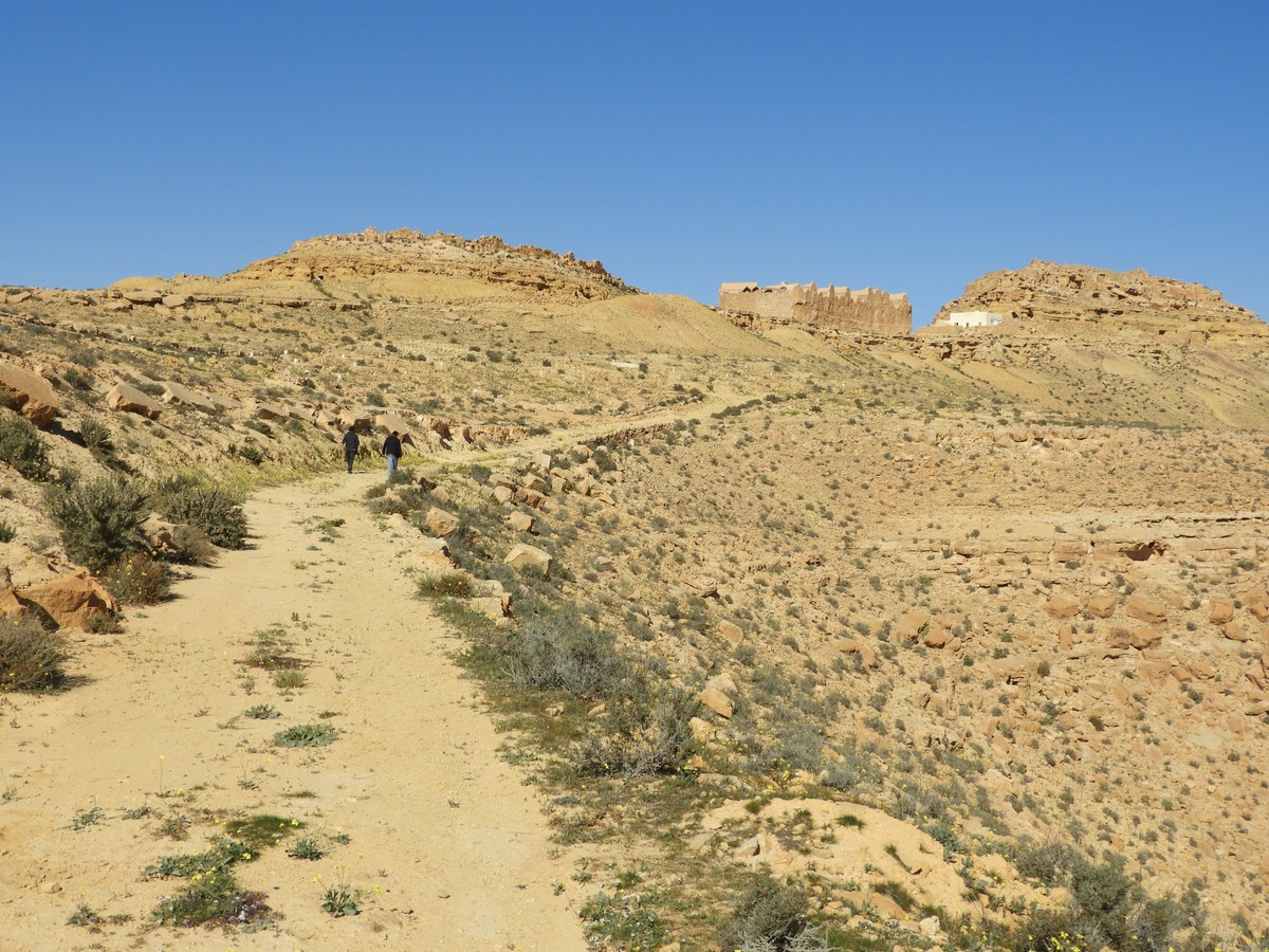
How to get to the Gasr: On the Tataouine road towards Maztouria. After 8 km, turn left towards Tounket. From Tounket village (Tataouine-Maztouria road), take the El Merbah track (approx. 3 km).
Suitability for tourist visits: None.
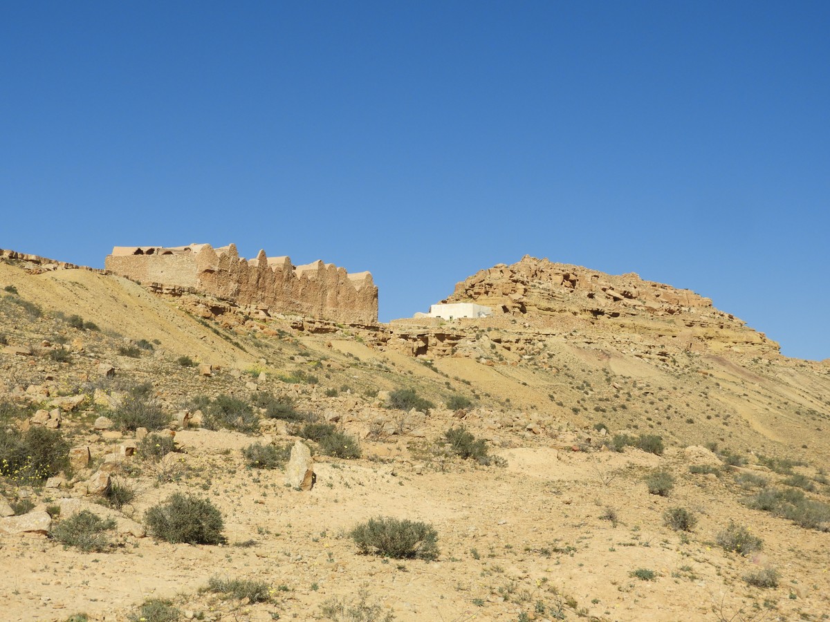
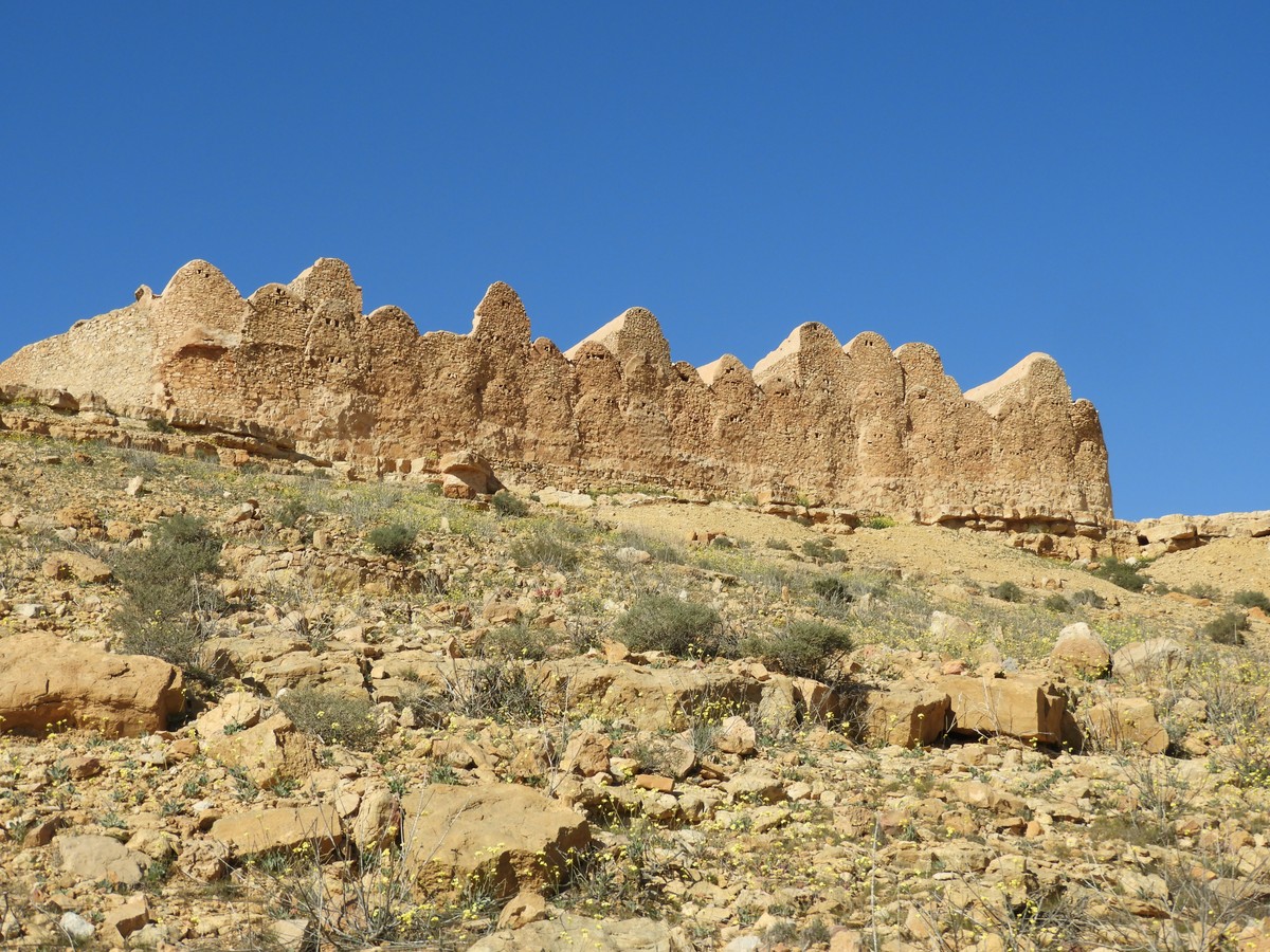
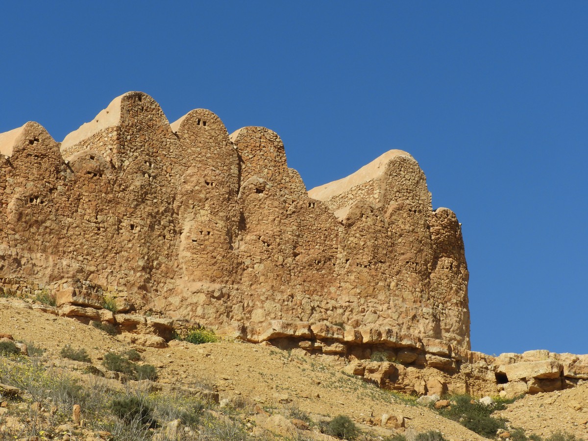
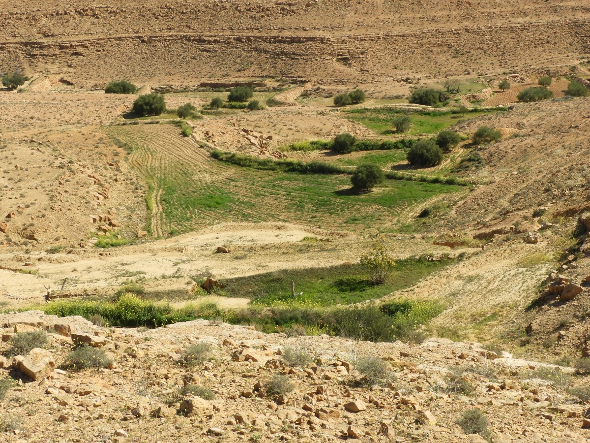
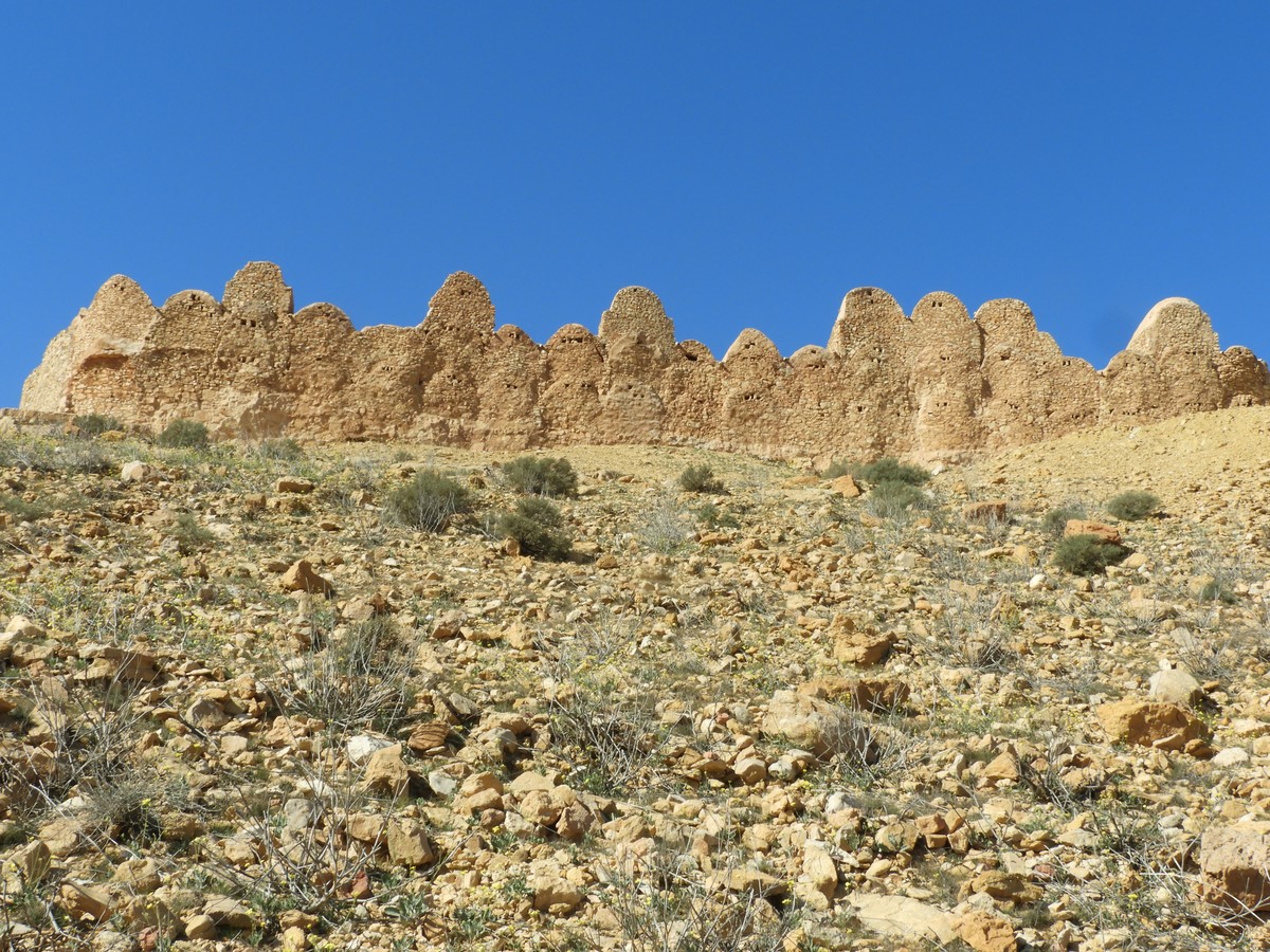
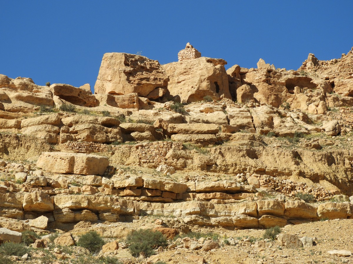
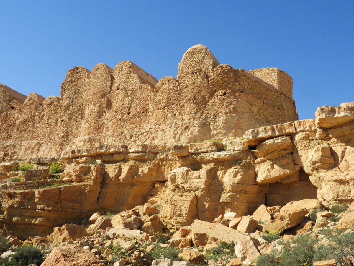
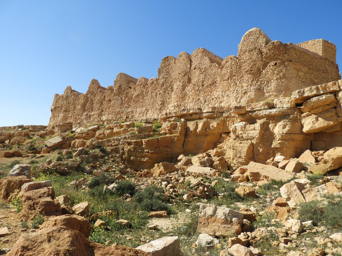
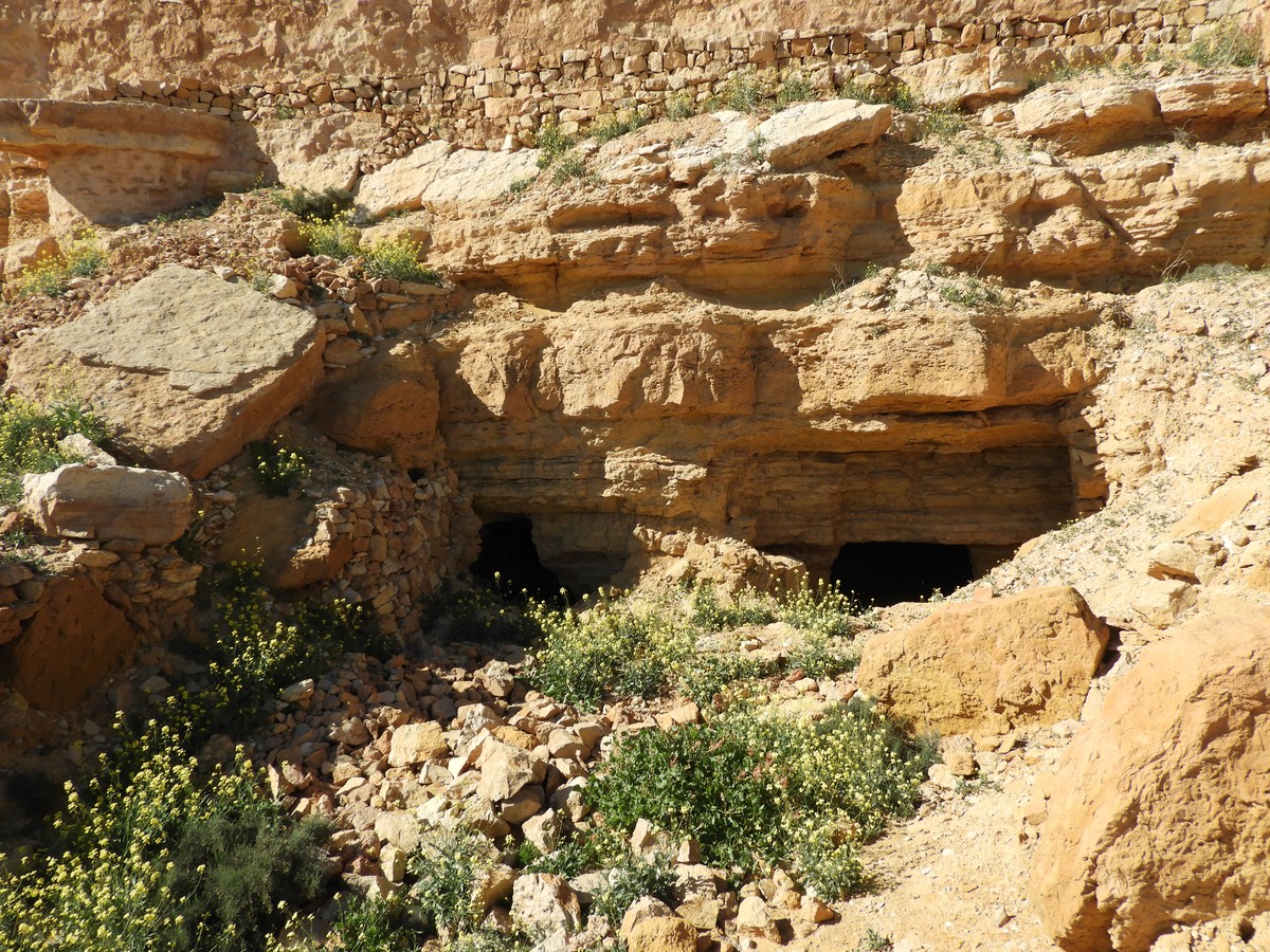
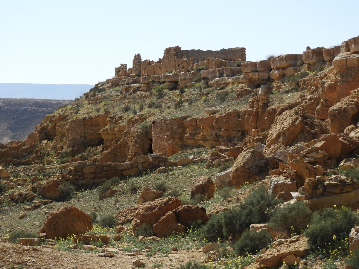
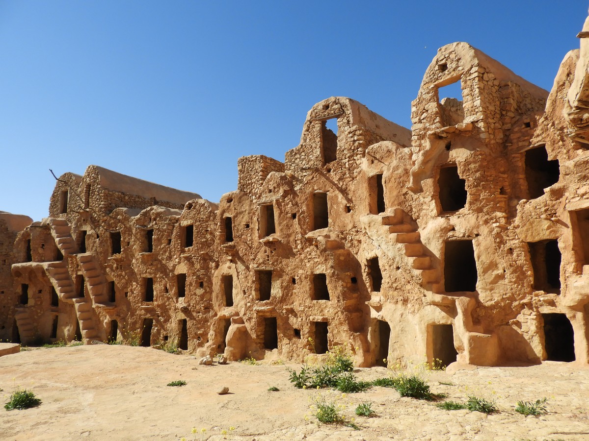
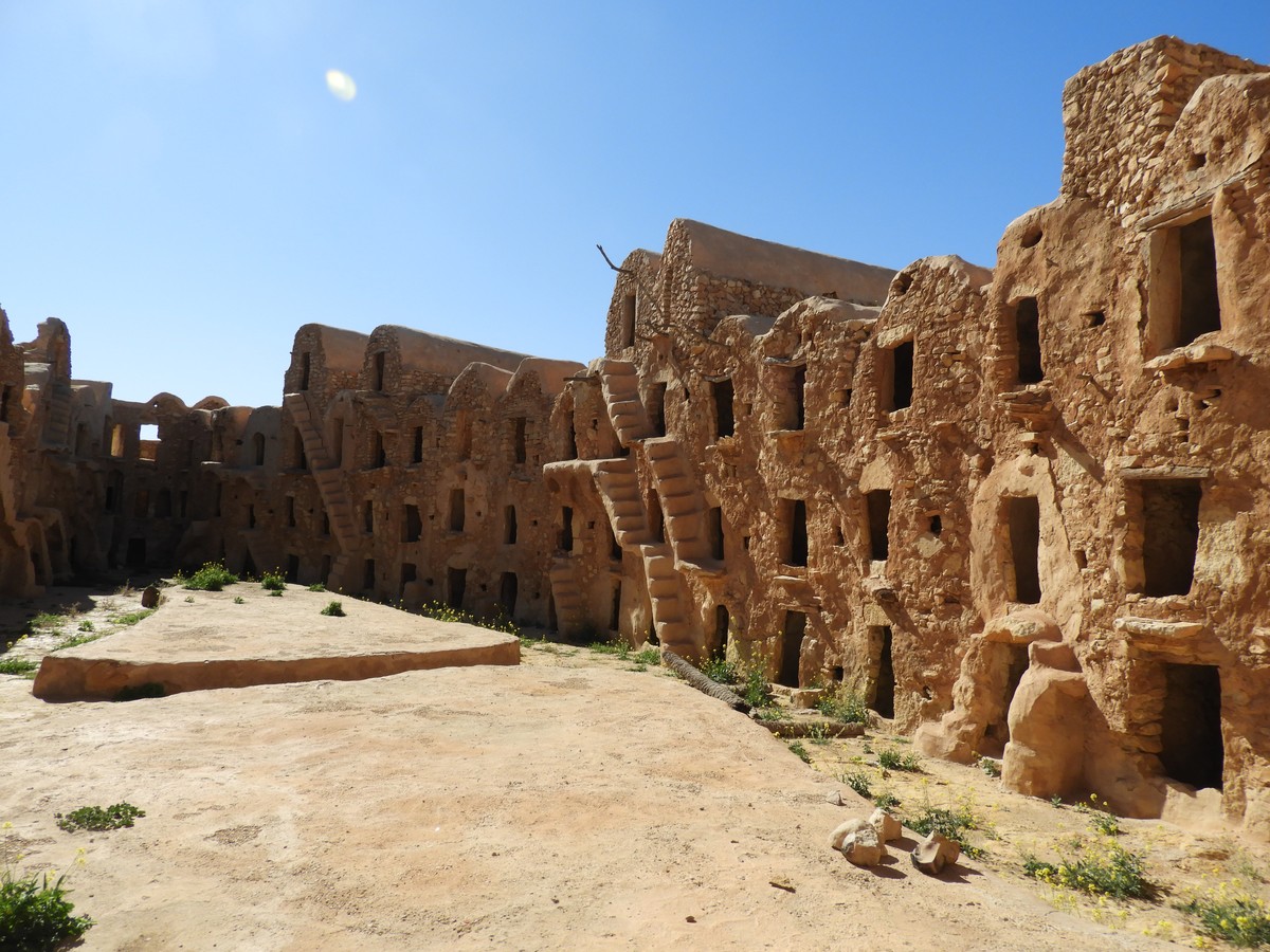
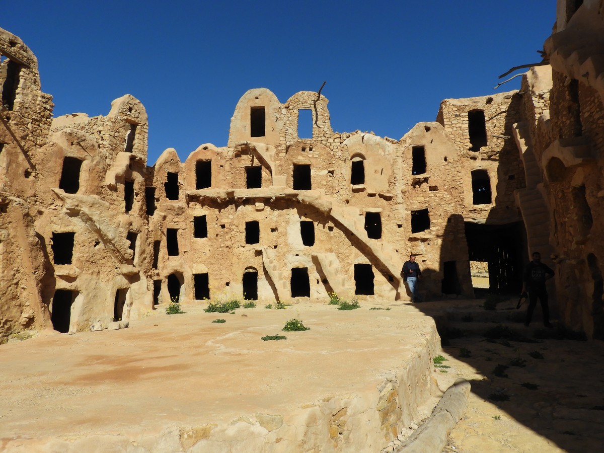
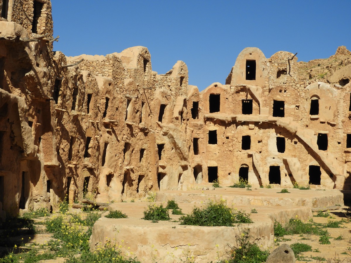
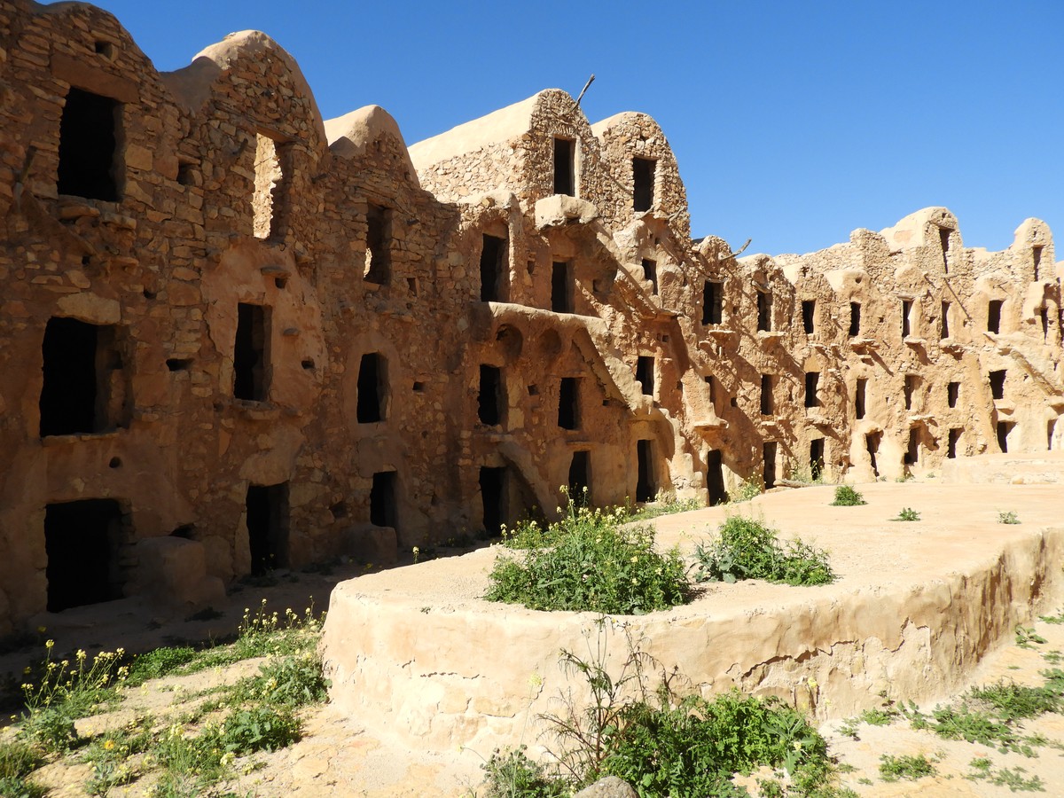
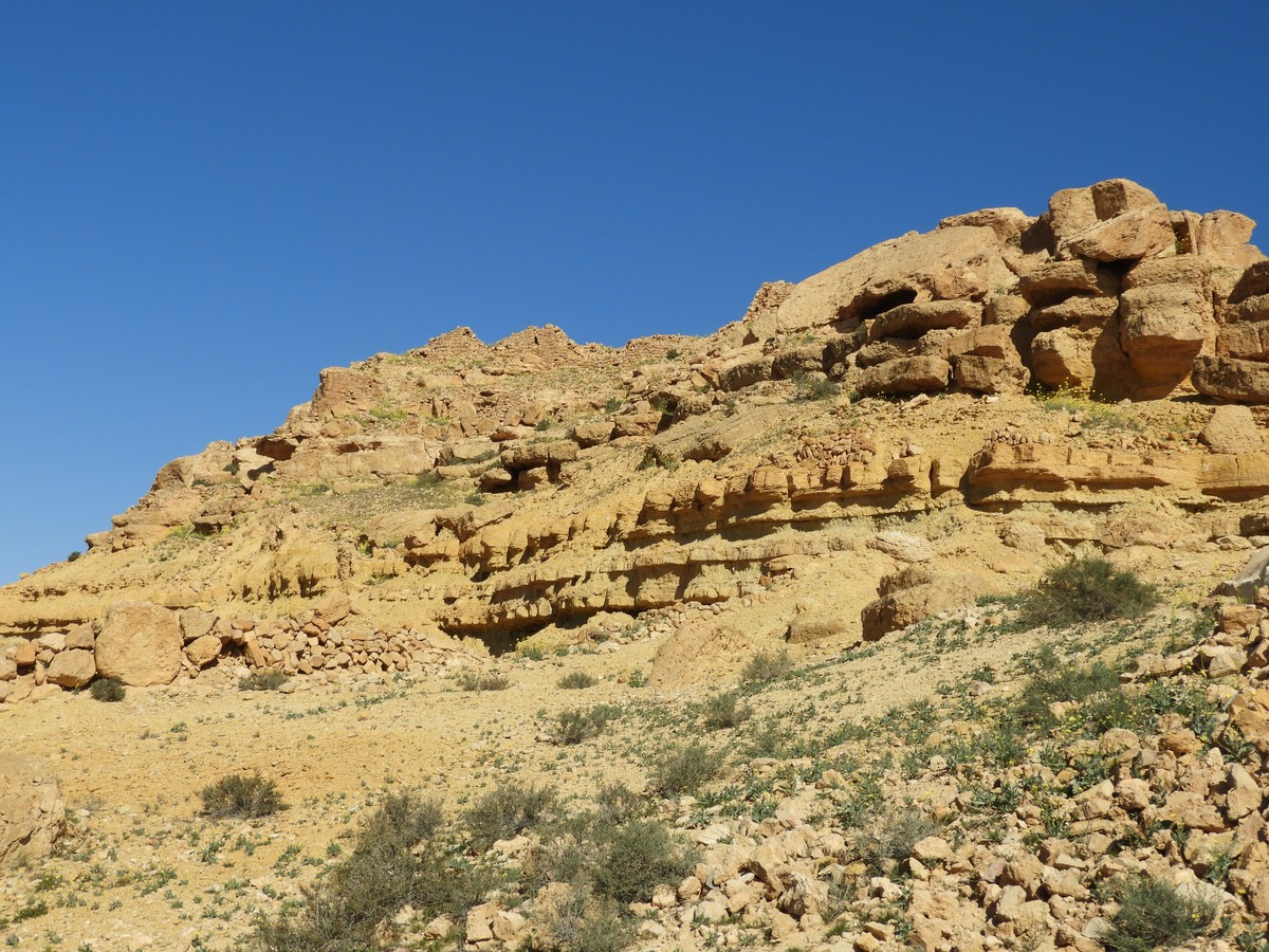
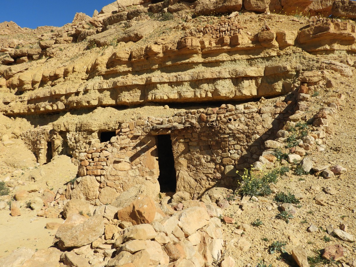
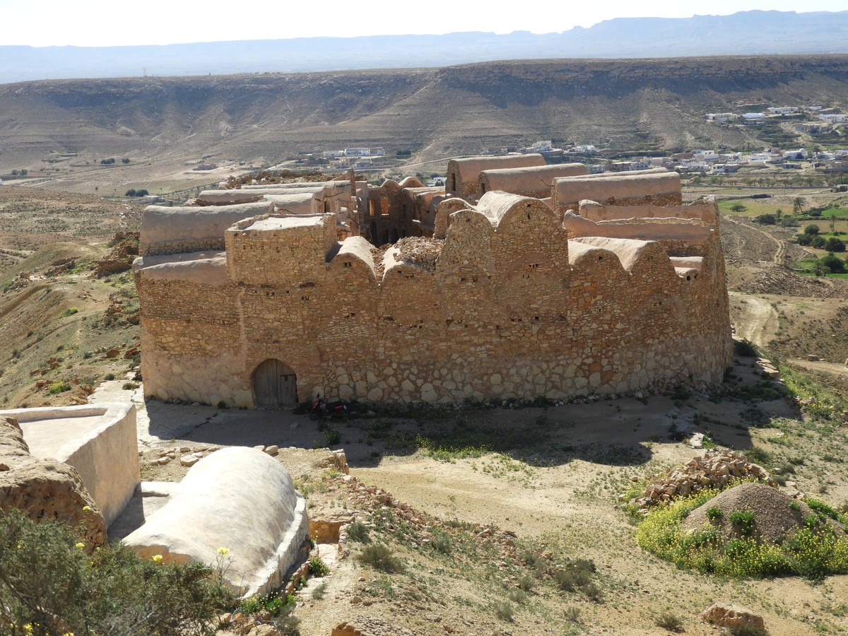
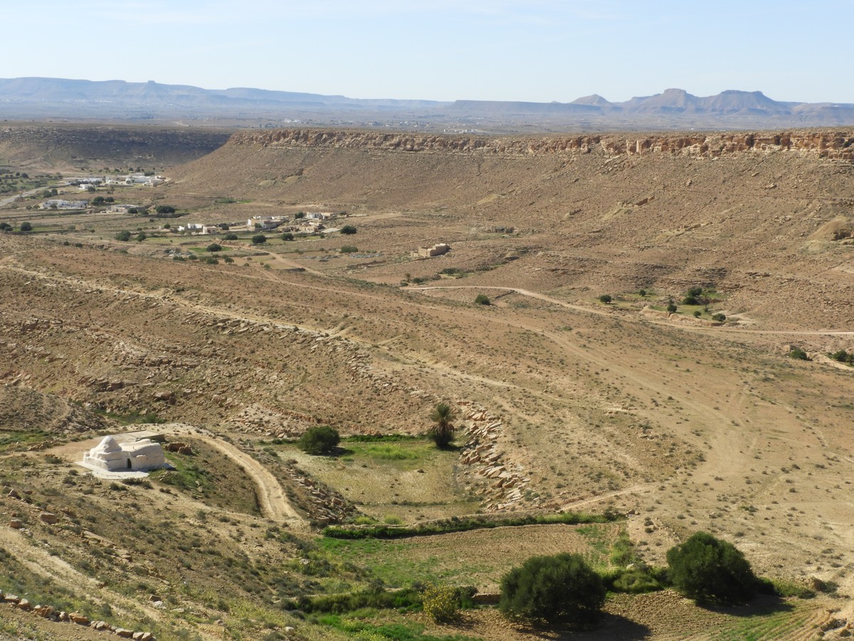
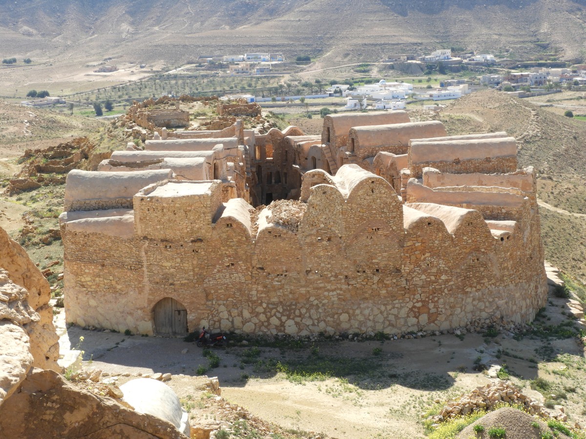
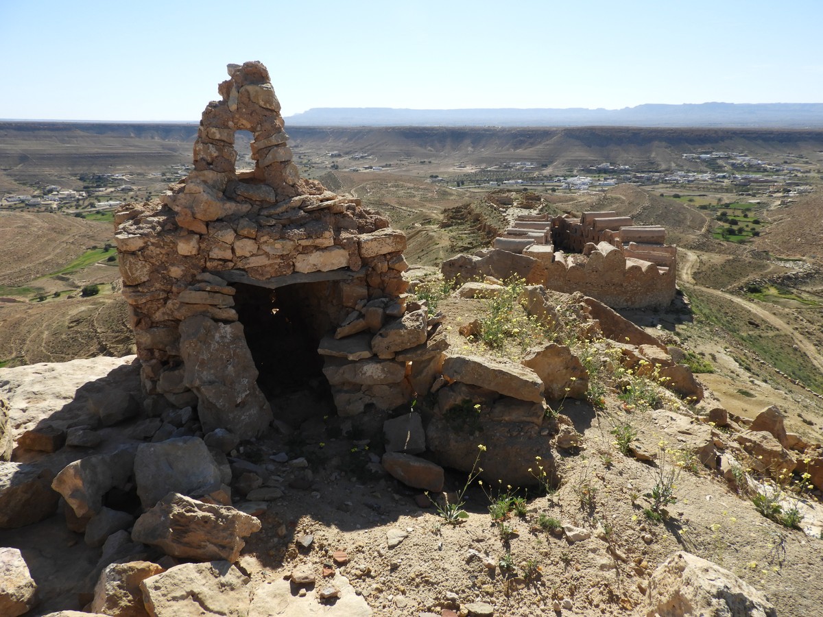
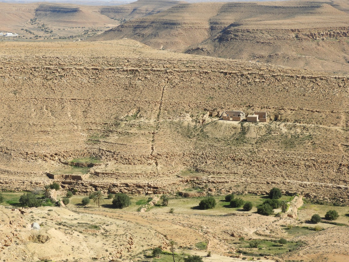
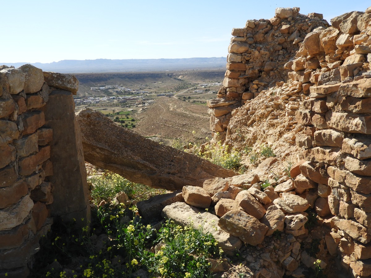
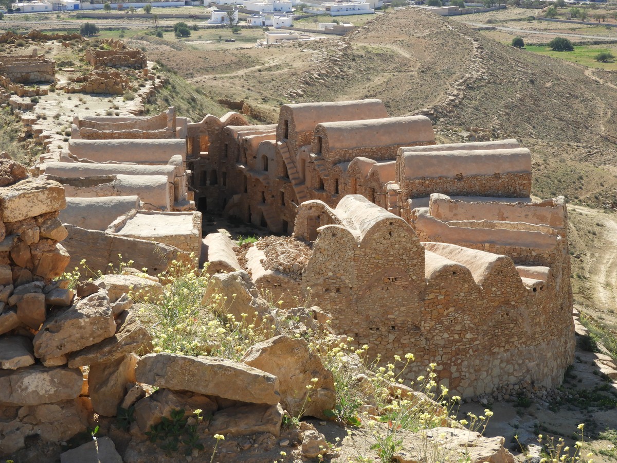
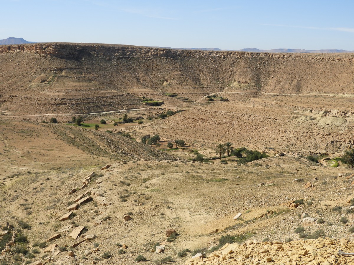
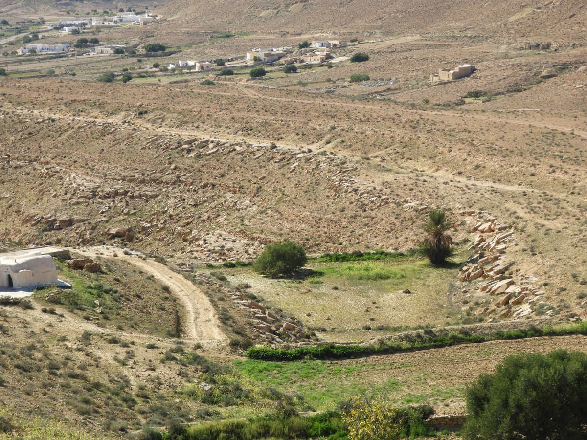
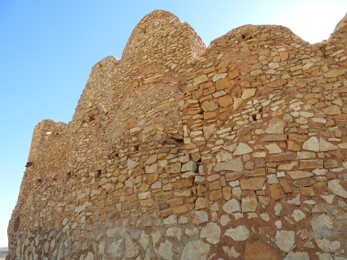
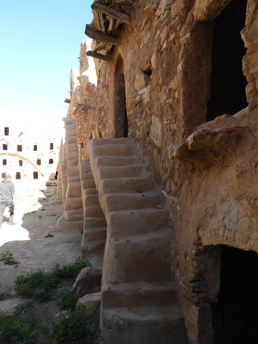
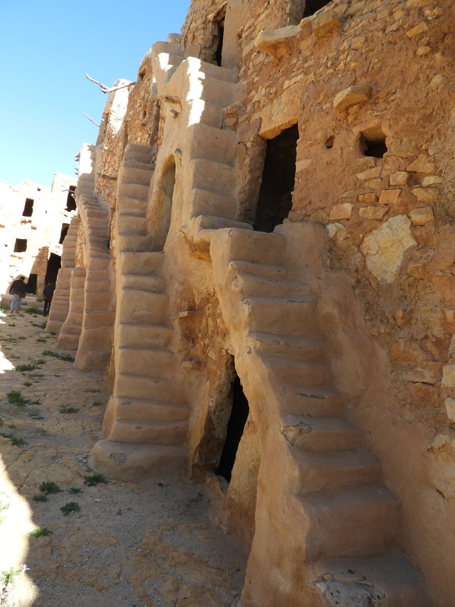
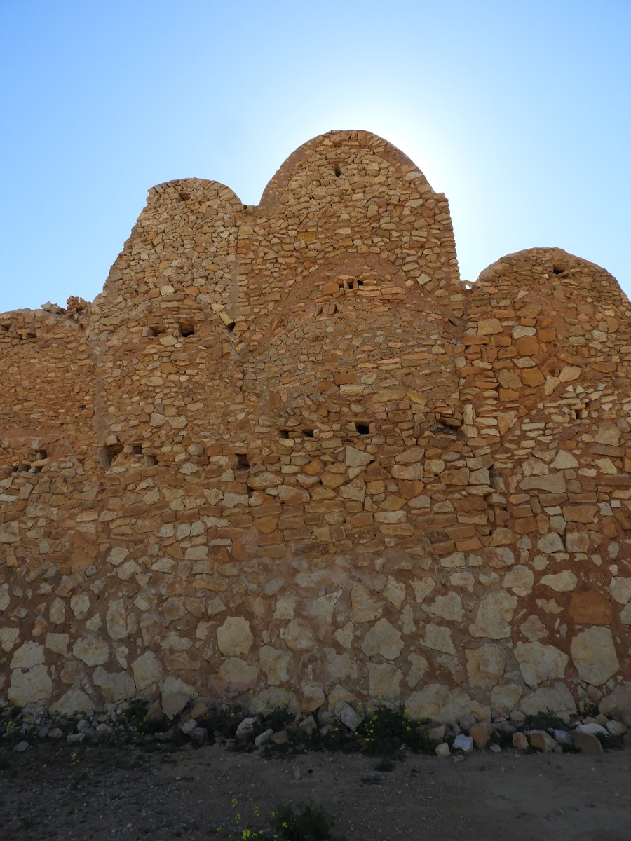
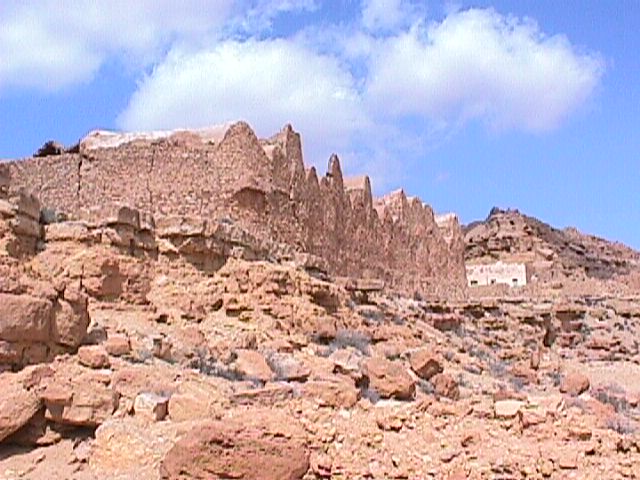
Location of the Gasr in its environment: The Gasr is situated on a hard limestone peak. Its location is defensive. The Gasr has a round shape with a diameter of 45 m; inside are 4 ancient oil mills.
Date of Gasr creation: 1143 H – 1730 AD.
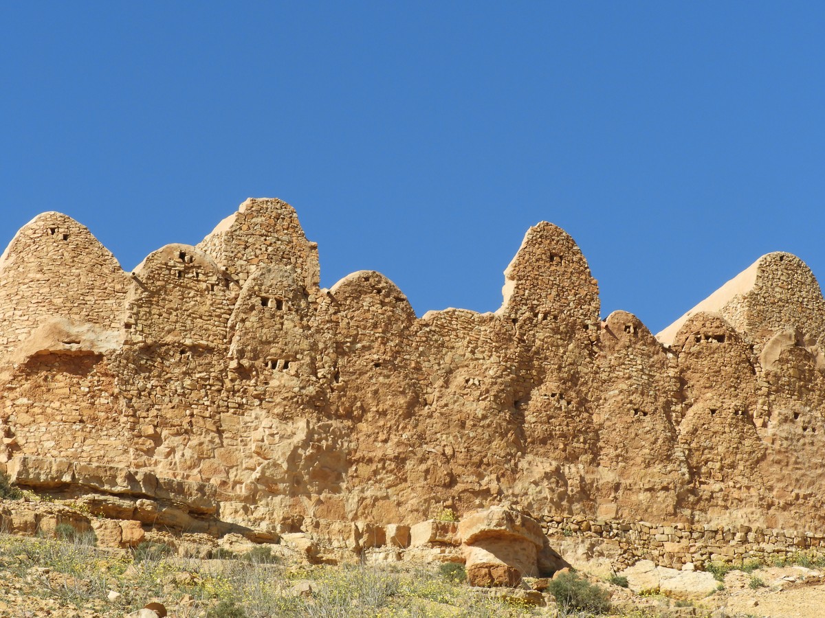
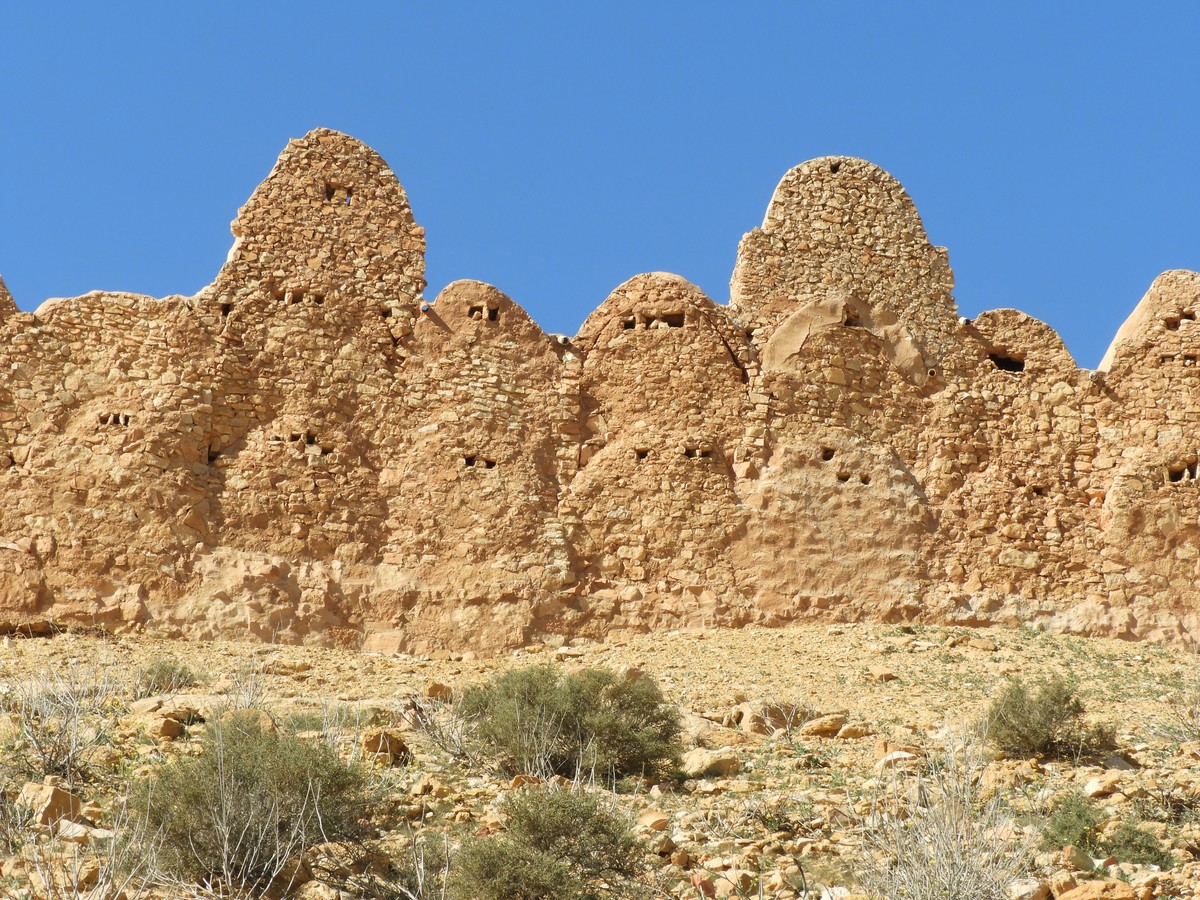
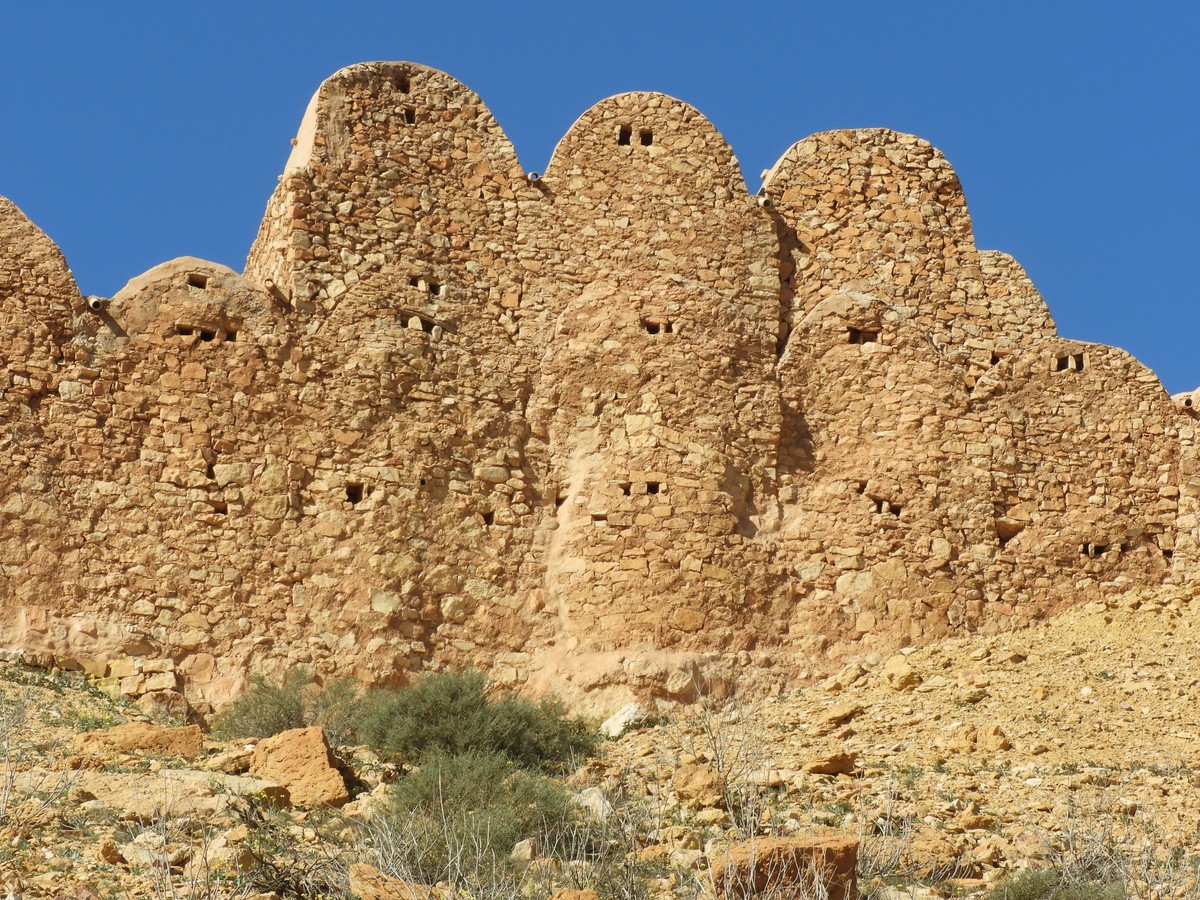
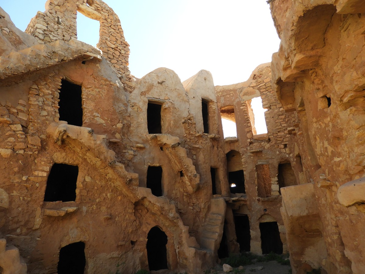
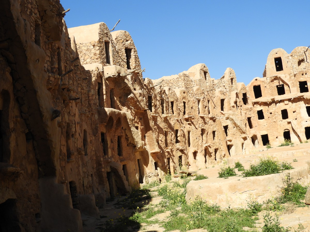
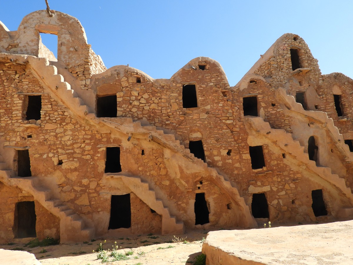
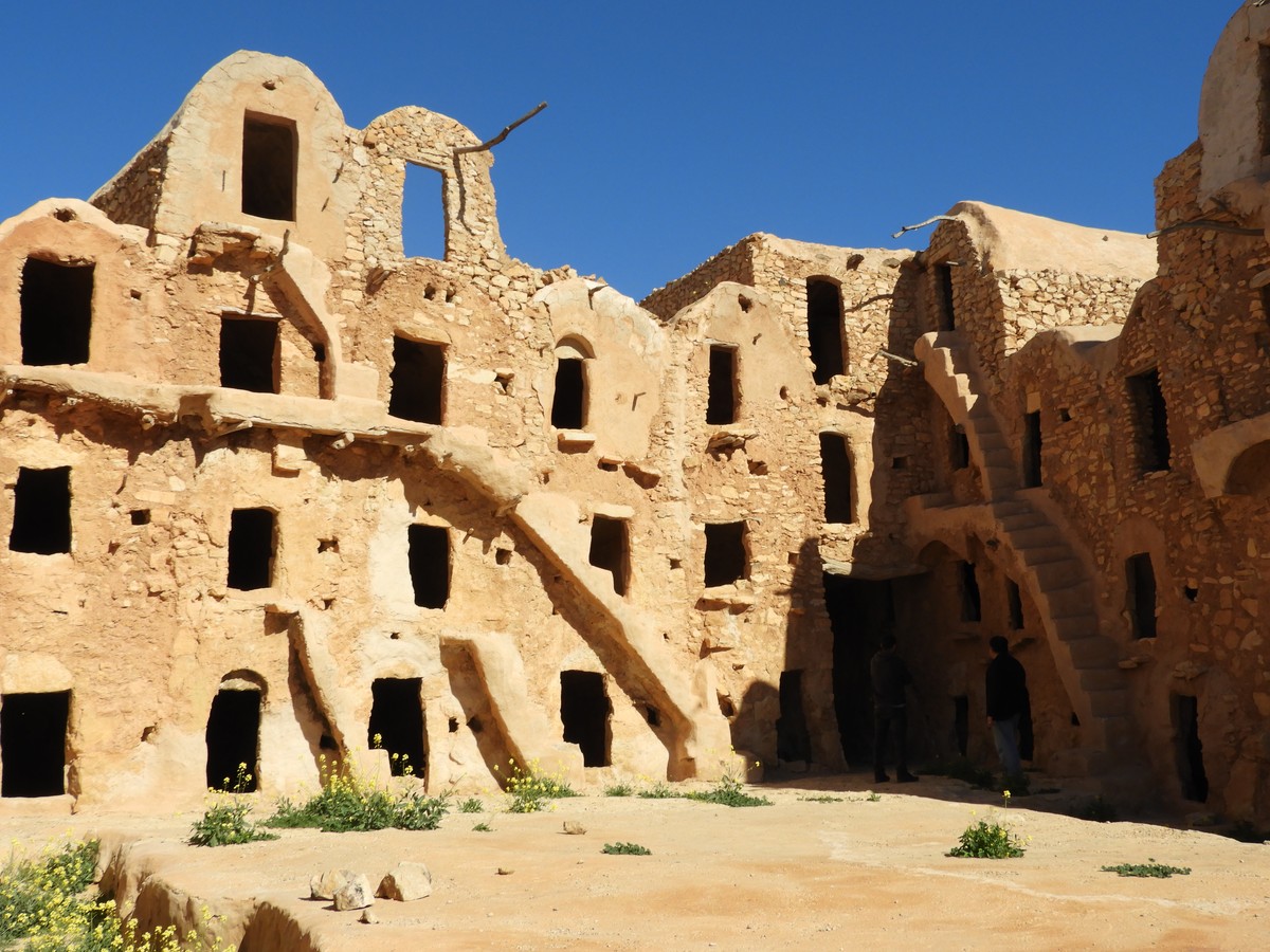
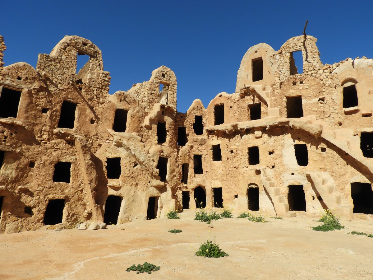
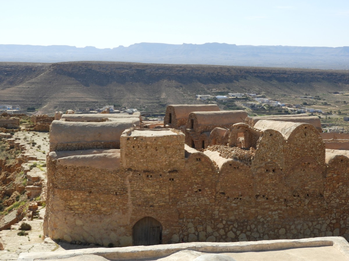
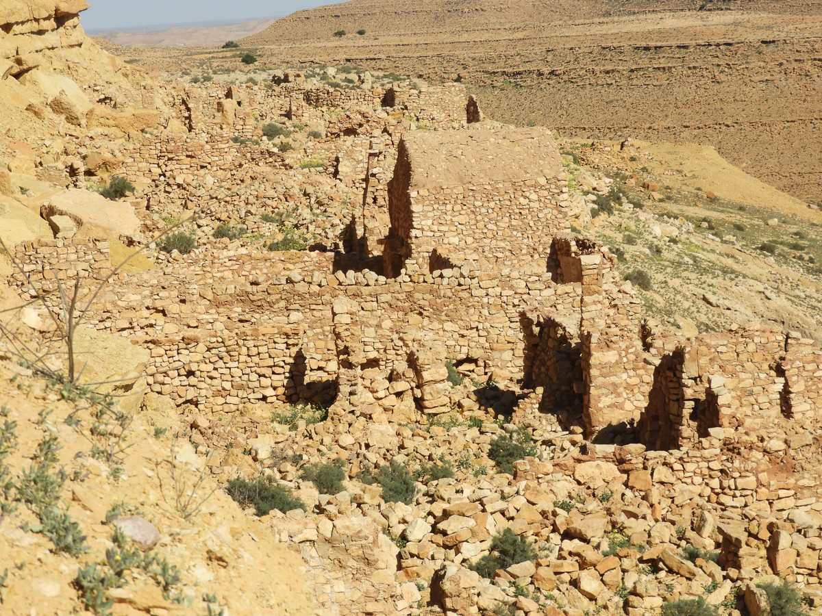
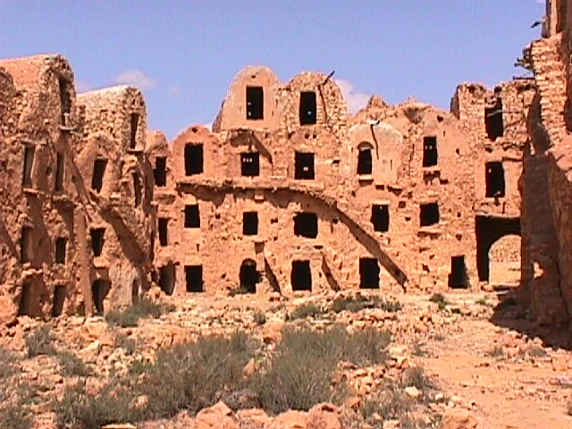
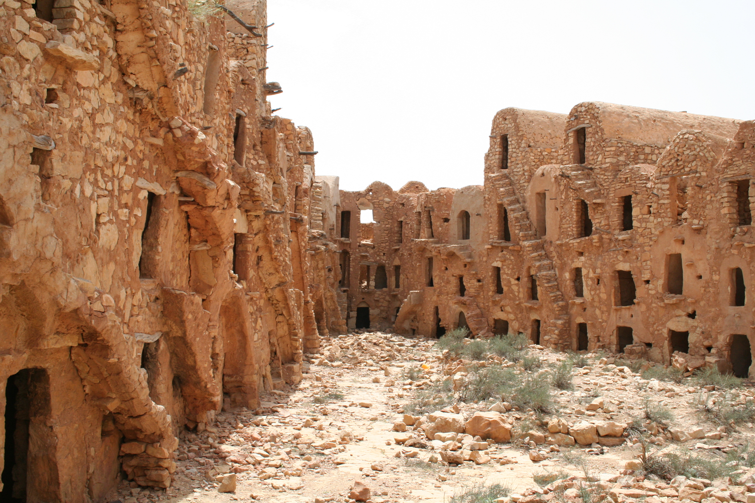
Number of ghorfas: Approximately 120 ghorfas, including 50 collapsed.
Number of floors: 3 floors.
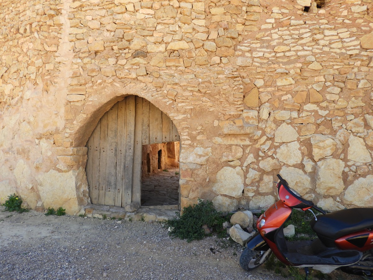
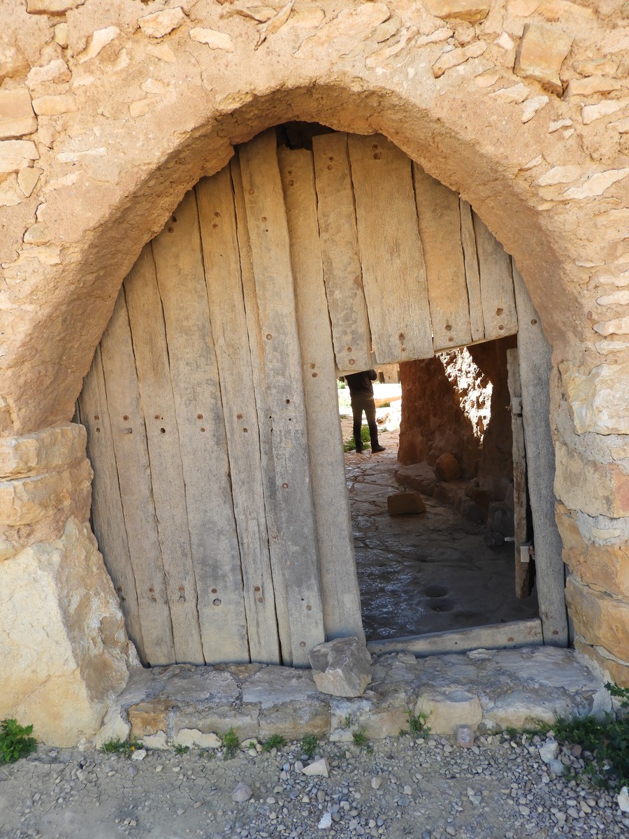
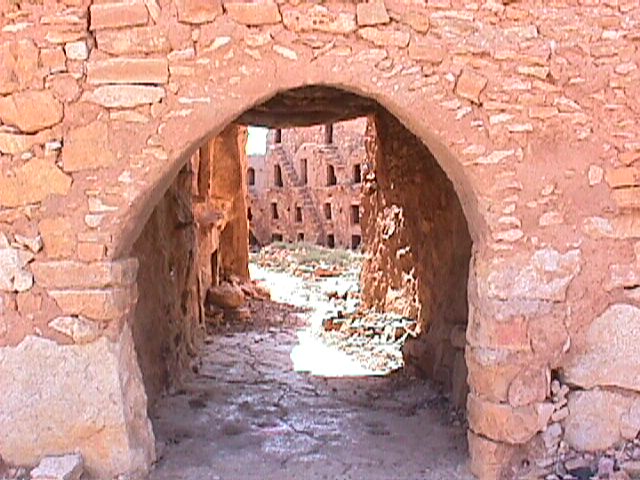
Number of external doors: A single entrance, via a Skifa.
Facilities in the Gasr: 4 oil mills.
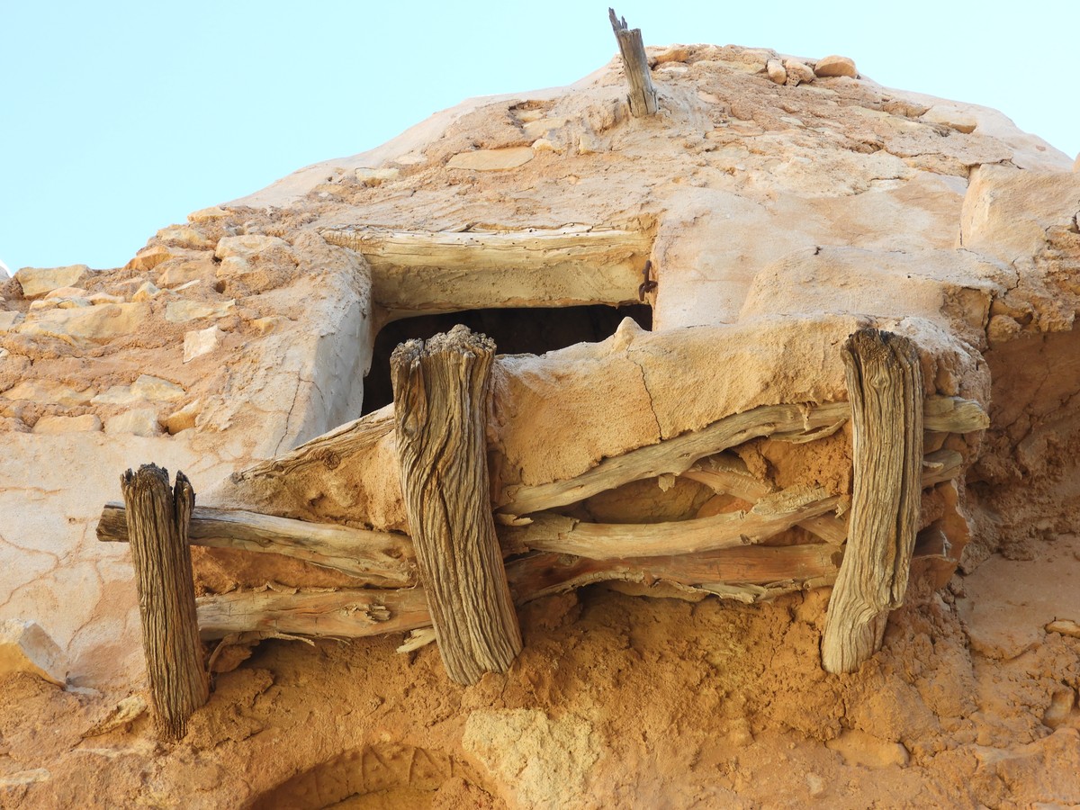
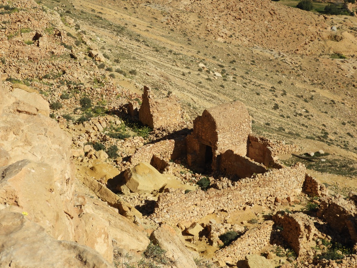
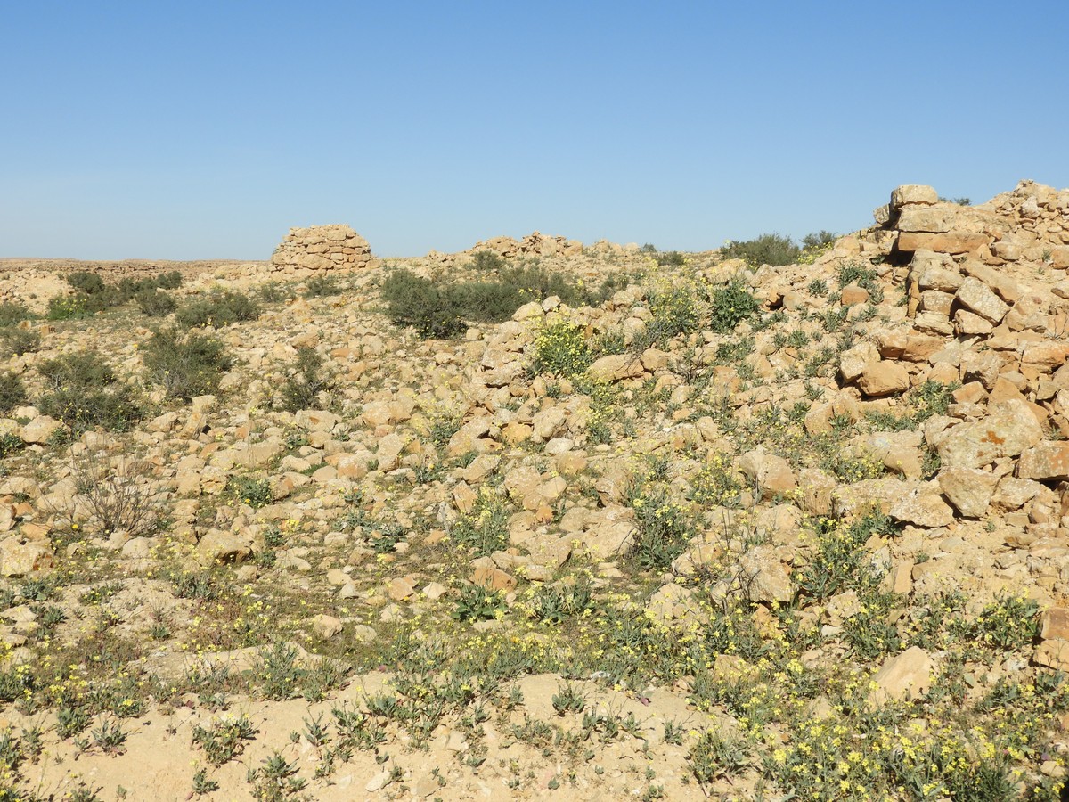
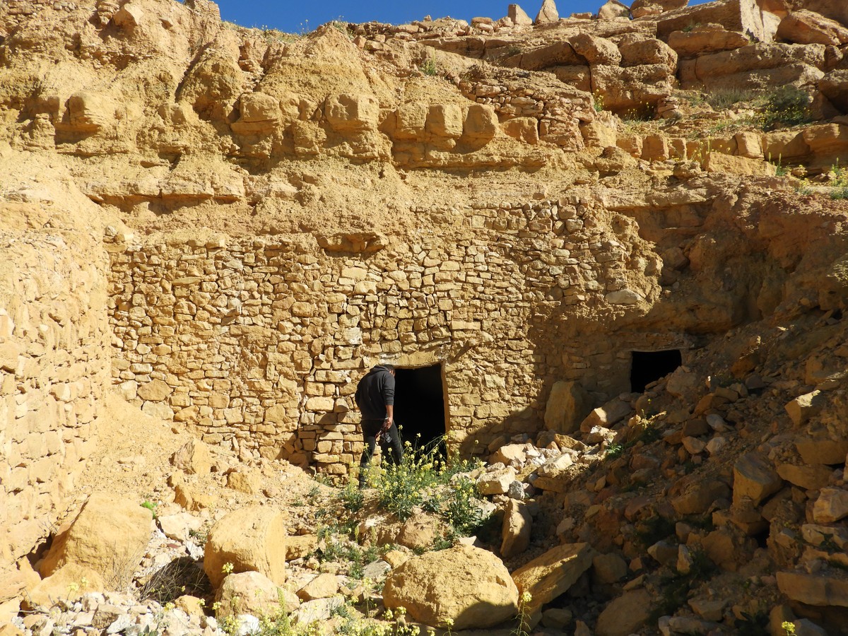
Architectural state: The Gasr is in precarious condition. However, it is not yet too late; urgent restoration is desirable.
Gasr El-Mourabitine - Photo Gallery