GPS Coordinates: N 33°15'4.75" E 10°15'30.96"
Governorate: Medenine
Delegation: Beni-Khedache
 Photos: Laroussi Kamel, 2003
 Photos : Laroussi Kamel, 2003
 Photos : Laroussi Kamel, 2003
 Photos: Mlle Bouchra
How to get to the Gasr: It is located on the Medenine/Beni-Khedache road, 1 km from the mountain village of Gasr El Jouamaâ,
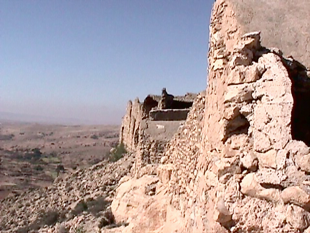
Suitability for a tourist visit: It is distinguished by a panoramic view of the area's agricultural developments (notably the terraced farming system on the mountain slopes and its valley floor, using a traditional water retention system known as "Jessours". Olive trees, fig trees, almond trees and other local shrubs are found here).
Surrounding facilities: Primary school, dispensary.
Distance from urban center (Km): 1 km from the mountain village of Gasr El Jouamaâ, it is located 10 km from B.K. on a steep hill at an altitude of 540m.
Date of Construction: 1187 H ≈ 1773 AD.
Number of Ghorfas: 180.
Number of floors: 2 floors
Number of doors to the outside: a double-leaf door dated 1764
Facilities in the Gasr: Mosque, The Zaouia (Sufi Brotherhood Headquarters) of Sidi Abdelhafidh Lajnef (religious dignitary of the Jlidets maraboutic tribe). Two Fesguias and a prayer area.
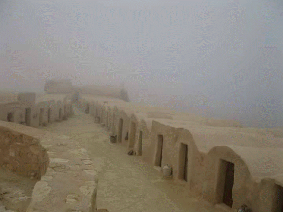
On three sides, steep slopes make the site impregnable. This Gasr, which is distinguished by the length of its Ghorfas (5m long), has a traditional oil mill in its immediate surroundings.
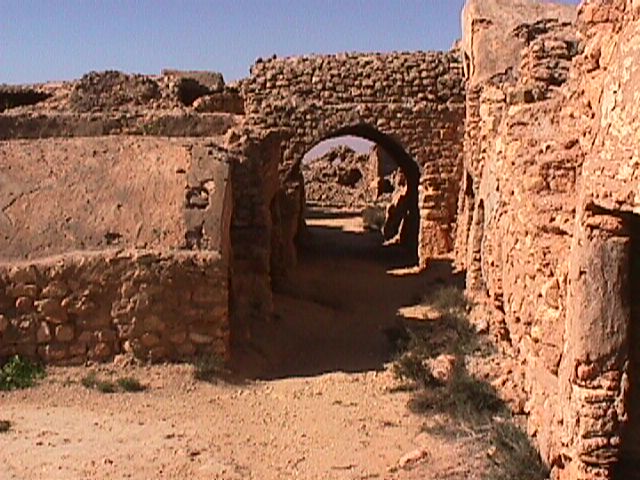
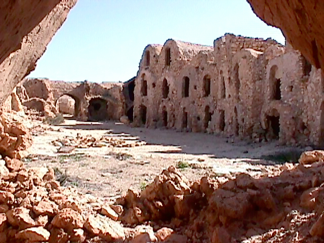
Architectural State: 180 ghorfas (110 dilapidated Ghorfas and 70 in ruins), overlooking the courtyard leading to the Skifa in good condition. This Gsour is partly restored. On-site facilities include rooms, a restaurant, and a typical tea room with a tourist reception point.